Outreau (Outreau)

- commune in Pas-de-Calais, France
- Country:

- Postal Code: 62230
- Coordinates: 50° 42' 14" N, 1° 35' 38" E


- GPS tracks (wikiloc): [Link]
- Area: 7.09 sq km
- Population: 13898
- Web site: http://www.ville-outreau.fr
- Wikipedia en: wiki(en)
- Wikipedia: wiki(fr)
- Wikidata storage: Wikidata: Q853099
- Wikipedia Commons Category: [Link]
- Freebase ID: [/m/027cn4]
- GeoNames ID: Alt: [6439779]
- SIREN number: [216206433]
- BnF ID: [15269084g]
- VIAF ID: Alt: [235247494]
- OSM relation ID: [180035]
- WOEID: [615399]
- INSEE municipality code: 62643
Shares border with regions:


Saint-Léonard
- commune in Pas-de-Calais, France
- Country:
- Postal Code: 62360
- Coordinates: 50° 41' 26" N, 1° 37' 27" E
- GPS tracks (wikiloc): [Link]
- Area: 3.4 sq km
- Population: 3568
- Web site: [Link]


Équihen-Plage
- commune in Pas-de-Calais, France
- Country:
- Postal Code: 62224
- Coordinates: 50° 40' 37" N, 1° 34' 21" E
- GPS tracks (wikiloc): [Link]
- Area: 3.81 sq km
- Population: 2804
- Web site: [Link]


Boulogne-sur-Mer
- commune in Pas-de-Calais, France
- Country:
- Postal Code: 62200
- Coordinates: 50° 43' 32" N, 1° 36' 50" E
- GPS tracks (wikiloc): [Link]
- AboveSeaLevel: 110 м m
- Area: 8.42 sq km
- Population: 42366
- Web site: [Link]


Saint-Étienne-au-Mont
- commune in Pas-de-Calais, France
- Country:
- Postal Code: 62360
- Coordinates: 50° 40' 54" N, 1° 37' 33" E
- GPS tracks (wikiloc): [Link]
- Area: 14.05 sq km
- Population: 5093
- Web site: [Link]


Saint-Martin-Boulogne
- commune in Pas-de-Calais, France
- Country:
- Postal Code: 62280
- Coordinates: 50° 43' 33" N, 1° 37' 56" E
- GPS tracks (wikiloc): [Link]
- Area: 13.15 sq km
- Population: 11285
- Web site: [Link]
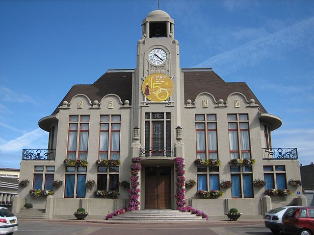

Le Portel
- commune in Pas-de-Calais, France
- Country:
- Postal Code: 62480
- Coordinates: 50° 42' 24" N, 1° 34' 24" E
- GPS tracks (wikiloc): [Link]
- Area: 3.85 sq km
- Population: 9257
- Web site: [Link]