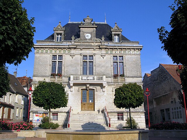
arrondissement of Château-Thierry (arrondissement de Château-Thierry)
- arrondissement of France
- Country:

- Capital: Château-Thierry
- Coordinates: 49° 2' 39" N, 3° 24' 5" E


- GPS tracks (wikiloc): [Link]
- Area: 1115 sq km
- Population: 69558
- Wikipedia en: wiki(en)
- Wikipedia: wiki(fr)
- Wikidata storage: Wikidata: Q700965
- Freebase ID: [/m/0954k7]
- GeoNames ID: Alt: [3026193]
- INSEE arrondissement code: [021]
Includes regions:

canton of Condé-en-Brie
- canton of France (until March 2015)
- Country:

- Capital: Condé-en-Brie
- Coordinates: 49° 0' 23" N, 3° 33' 25" E


- GPS tracks (wikiloc): [Link]


canton of Fère-en-Tardenois
- canton of France
- Country:

- Capital: Fère-en-Tardenois
- Coordinates: 49° 12' 0" N, 3° 31' 0" E


- GPS tracks (wikiloc): [Link]
- Population: 27945

canton of Charly-sur-Marne
- canton of France (until March 2015)
- Country:

- Capital: Charly-sur-Marne
- Coordinates: 48° 58' 0" N, 3° 16' 0" E


- GPS tracks (wikiloc): [Link]


canton of Château-Thierry
- canton of France
- Country:

- Capital: Château-Thierry
- Coordinates: 49° 3' 0" N, 3° 24' 0" E


- GPS tracks (wikiloc): [Link]
- Area: 207.16 sq km
- Population: 27113


canton of Neuilly-Saint-Front
- canton of France (until March 2015)
- Country:

- Capital: Neuilly-Saint-Front
- Coordinates: 49° 10' 0" N, 3° 16' 0" E


- GPS tracks (wikiloc): [Link]
