Fère-en-Tardenois (Fère-en-Tardenois)

- commune in Aisne, France
- Country:

- Coordinates: 49° 11' 58" N, 3° 31' 3" E


- GPS tracks (wikiloc): [Link]
- Area: 20.4 sq km
- Population: 3143
- Web site: http://ville-ferentardenois.com/
- Wikipedia en: wiki(en)
- Wikipedia: wiki(fr)
- Wikidata storage: Wikidata: Q332026
- Wikipedia Commons Category: [Link]
- Freebase ID: [/m/044y78]
- Freebase ID: [/m/044y78]
- GeoNames ID: Alt: [3018693]
- GeoNames ID: Alt: [3018693]
- SIREN number: [210202875]
- SIREN number: [210202875]
- BnF ID: [10749133m]
- BnF ID: [10749133m]
- VIAF ID: Alt: [168774259]
- VIAF ID: Alt: [168774259]
- archINFORM location ID: [8239]
- archINFORM location ID: [8239]
- Library of Congress authority ID: Alt: [n90712805]
- Library of Congress authority ID: Alt: [n90712805]
- MusicBrainz area ID: [c1acb160-c370-4125-afce-bf436ed0744f]
- MusicBrainz area ID: [c1acb160-c370-4125-afce-bf436ed0744f]
- INSEE municipality code: 02305
- INSEE municipality code: 02305
Shares border with regions:

Saponay
- commune in Aisne, France
- Country:
- Postal Code: 02130
- Coordinates: 49° 12' 50" N, 3° 28' 47" E
- GPS tracks (wikiloc): [Link]
- Area: 9.93 sq km
- Population: 287

Seringes-et-Nesles
- commune in Aisne, France
- Country:
- Postal Code: 02130
- Coordinates: 49° 12' 19" N, 3° 32' 27" E
- GPS tracks (wikiloc): [Link]
- Area: 13.49 sq km
- Population: 283
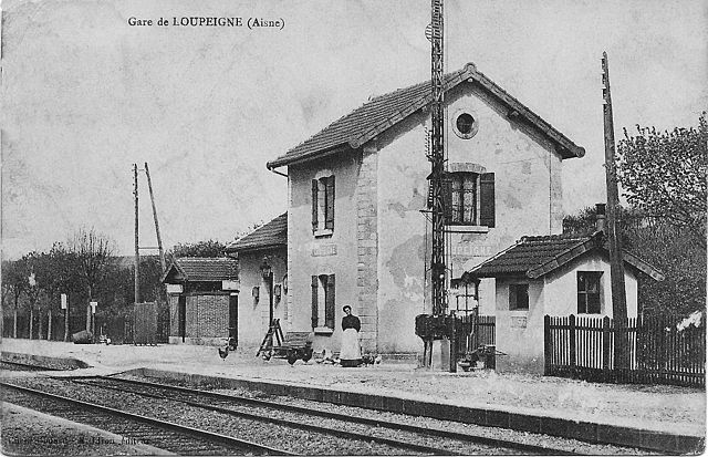
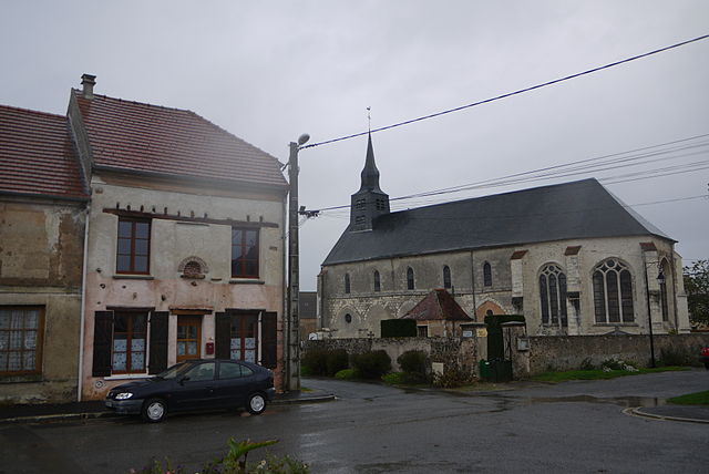
Loupeigne
- commune in Aisne, France
- Country:
- Postal Code: 02130
- Coordinates: 49° 14' 50" N, 3° 32' 6" E
- GPS tracks (wikiloc): [Link]
- Area: 7.3 sq km
- Population: 91
Le Charmel
- commune in Aisne, France
- Country:
- Postal Code: 02850
- Coordinates: 49° 6' 48" N, 3° 32' 57" E
- GPS tracks (wikiloc): [Link]
- Area: 9.83 sq km
- Population: 319

Fresnes-en-Tardenois
- commune in Aisne, France
- Country:
- Postal Code: 02130
- Coordinates: 49° 8' 45" N, 3° 33' 21" E
- GPS tracks (wikiloc): [Link]
- Area: 8.84 sq km
- Population: 267

Beuvardes
- commune in Aisne, France
- Country:
- Postal Code: 02130
- Coordinates: 49° 8' 31" N, 3° 29' 22" E
- GPS tracks (wikiloc): [Link]
- Area: 15.66 sq km
- Population: 729

Villers-sur-Fère
- commune in Aisne, France
- Country:
- Postal Code: 02130
- Coordinates: 49° 10' 54" N, 3° 32' 1" E
- GPS tracks (wikiloc): [Link]
- Area: 10.79 sq km
- Population: 521

Mareuil-en-Dôle
- commune in Aisne, France
- Country:
- Postal Code: 02130
- Coordinates: 49° 14' 27" N, 3° 33' 24" E
- GPS tracks (wikiloc): [Link]
- Area: 8.81 sq km
- Population: 252
Villeneuve-sur-Fère
- commune in Aisne, France
- Country:
- Postal Code: 02130
- Coordinates: 49° 10' 39" N, 3° 28' 30" E
- GPS tracks (wikiloc): [Link]
- Area: 10.3 sq km
- Population: 270