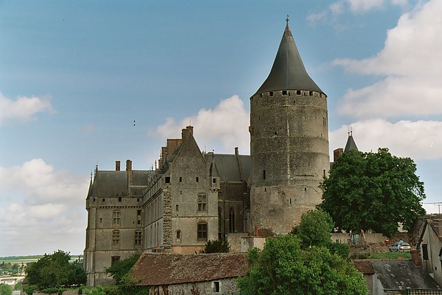
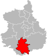
arrondissement of Châteaudun (arrondissement de Châteaudun)
- arrondissement of France
- Country:

- Capital: Châteaudun
- Coordinates: 48° 10' 0" N, 1° 25' 0" E


- GPS tracks (wikiloc): [Link]
- Area: 1439 sq km
- Population: 59277
- Wikipedia en: wiki(en)
- Wikipedia: wiki(fr)
- Wikidata storage: Wikidata: Q700981
- Freebase ID: [/m/09550q]
- GeoNames ID: Alt: [3026284]
- INSEE arrondissement code: [282]
- GNS Unique Feature ID: -1419062
Includes regions:


canton of Châteaudun
- canton of France
- Country:

- Capital: Châteaudun
- Coordinates: 48° 2' 53" N, 1° 19' 37" E


- GPS tracks (wikiloc): [Link]
- Population: 31788

canton of Orgères-en-Beauce
- canton of France (until March 2015)
- Country:

- Capital: Orgères-en-Beauce
- Coordinates: 48° 7' 14" N, 1° 41' 30" E


- GPS tracks (wikiloc): [Link]


canton of Brou
- canton of France
- Country:

- Capital: Brou
- Coordinates: 48° 13' 34" N, 1° 12' 19" E


- GPS tracks (wikiloc): [Link]
- Population: 24063

canton of Cloyes-sur-le-Loir
- canton of France (until March 2015)
- Country:

- Capital: Cloyes-sur-le-Loir
- Coordinates: 48° 1' 51" N, 1° 14' 18" E


- GPS tracks (wikiloc): [Link]

