arrondissement of Dieppe (arrondissement de Dieppe)
- arrondissement of France
- Country:

- Capital: Dieppe
- Coordinates: 49° 45' 0" N, 1° 10' 0" E


- GPS tracks (wikiloc): [Link]
- Area: 3055 sq km
- Population: 238198
- Wikipedia en: wiki(en)
- Wikipedia: wiki(fr)
- Wikidata storage: Wikidata: Q654357
- Freebase ID: [/m/0954y6]
- GeoNames ID: Alt: [3021410]
- INSEE arrondissement code: [761]
- GNS Unique Feature ID: -1423942
Includes regions:


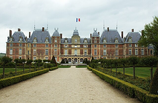
canton of Eu
- canton of France
- Country:

- Capital: Eu
- Coordinates: 49° 59' 55" N, 1° 24' 42" E


- GPS tracks (wikiloc): [Link]
- Population: 35398

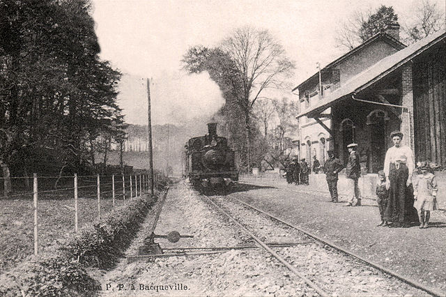
canton of Bacqueville-en-Caux
- canton of France
- Country:

- Capital: Bacqueville-en-Caux
- Coordinates: 49° 47' 36" N, 0° 57' 7" E


- GPS tracks (wikiloc): [Link]

canton of Blangy-sur-Bresle
- canton of France
- Country:

- Capital: Blangy-sur-Bresle
- Coordinates: 49° 53' 18" N, 1° 36' 8" E


- GPS tracks (wikiloc): [Link]


canton of Gournay-en-Bray
- canton of France
- Country:

- Capital: Gournay-en-Bray
- Coordinates: 49° 29' 35" N, 1° 40' 53" E


- GPS tracks (wikiloc): [Link]
- Population: 36766

canton of Longueville-sur-Scie
- canton of France
- Country:

- Capital: Longueville-sur-Scie
- Coordinates: 49° 47' 44" N, 1° 7' 13" E


- GPS tracks (wikiloc): [Link]


canton of Neufchâtel-en-Bray
- canton of France
- Country:

- Capital: Neufchâtel-en-Bray
- Coordinates: 49° 44' 38" N, 1° 28' 18" E


- GPS tracks (wikiloc): [Link]
- Population: 34426

canton of Saint-Saëns
- canton of France
- Country:

- Capital: Saint-Saëns
- Coordinates: 49° 38' 55" N, 1° 20' 32" E


- GPS tracks (wikiloc): [Link]


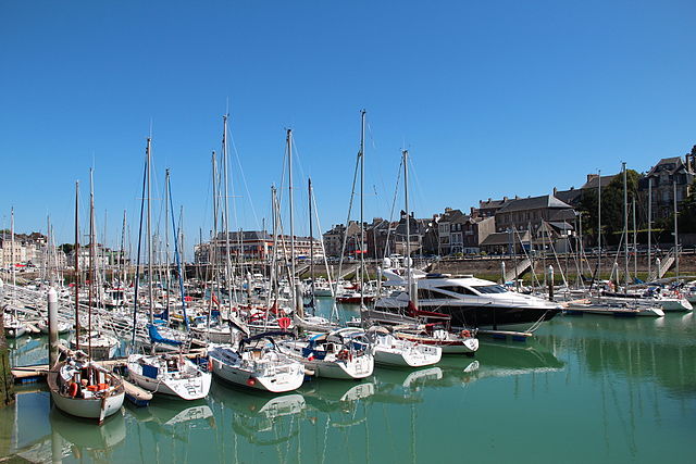
Dieppe
- commune in Seine-Maritime, France
- Country:

- Postal Code: 76200
- Coordinates: 49° 55' 18" N, 1° 4' 40" E


- GPS tracks (wikiloc): [Link]
- AboveSeaLevel: 6 м m
- Area: 11.67 sq km
- Population: 29965
- Web site: [Link]

canton of Forges-les-Eaux
- canton of France (until March 2015)
- Country:

- Capital: Forges-les-Eaux
- Coordinates: 49° 37' 16" N, 1° 34' 25" E


- GPS tracks (wikiloc): [Link]

canton of Fontaine-le-Dun
- French canton
- Country:

- Capital: Fontaine-le-Dun
- Coordinates: 49° 49' 16" N, 0° 50' 9" E


- GPS tracks (wikiloc): [Link]

canton of Offranville
- canton of France (until March 2015)
- Country:

- Capital: Offranville
- Coordinates: 49° 52' 35" N, 1° 1' 28" E


- GPS tracks (wikiloc): [Link]

canton of Cany-Barville
- canton of France (until March 2015)
- Country:

- Capital: Cany-Barville
- Coordinates: 49° 47' 54" N, 0° 37' 27" E


- GPS tracks (wikiloc): [Link]

canton of Londinières
- canton of France (until March 2015)
- Country:

- Capital: Londinières
- Coordinates: 49° 50' 13" N, 1° 25' 0" E


- GPS tracks (wikiloc): [Link]


canton of Saint-Valery-en-Caux
- canton of France
- Country:

- Capital: Saint-Valery-en-Caux
- Coordinates: 49° 50' 4" N, 0° 44' 14" E


- GPS tracks (wikiloc): [Link]
- Population: 35922

canton of Bellencombre
- canton of France (until March 2015)
- Country:

- Capital: Bellencombre
- Coordinates: 49° 42' 30" N, 1° 12' 59" E


- GPS tracks (wikiloc): [Link]


