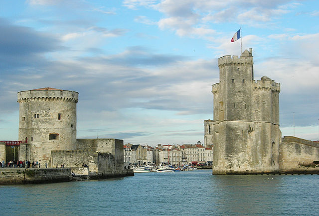
arrondissement of La Rochelle (arrondissement de La Rochelle)
- arrondissement of France
- Country:

- Capital: La Rochelle
- Coordinates: 46° 15' 0" N, 1° 0' 0" E


- GPS tracks (wikiloc): [Link]
- Area: 818 sq km
- Population: 214569
- Wikipedia en: wiki(en)
- Wikipedia: wiki(fr)
- Wikidata storage: Wikidata: Q701370
- Freebase ID: [/m/095fy0]
- GeoNames ID: Alt: [3006783]
- INSEE arrondissement code: [173]
- GNS Unique Feature ID: -1438608
Includes regions:


canton of La Jarrie
- canton of France
- Country:

- Capital: La Jarrie
- Coordinates: 46° 8' 0" N, 1° 0' 0" E


- GPS tracks (wikiloc): [Link]
- Population: 25275


canton of Aytré
- canton of France
- Country:

- Capital: Aytré
- Coordinates: 46° 6' 0" N, 1° 6' 0" E


- GPS tracks (wikiloc): [Link]
- Population: 28166


canton of La Rochelle-3
- canton of France
- Country:

- Capital: La Rochelle
- Coordinates: 46° 9' 41" N, 1° 8' 56" E


- GPS tracks (wikiloc): [Link]
- Population: 24263

canton of Saint-Martin-de-Ré
- canton of France
- Country:

- Capital: Saint-Martin-de-Ré
- Coordinates: 46° 10' 37" N, 1° 20' 3" E


- GPS tracks (wikiloc): [Link]


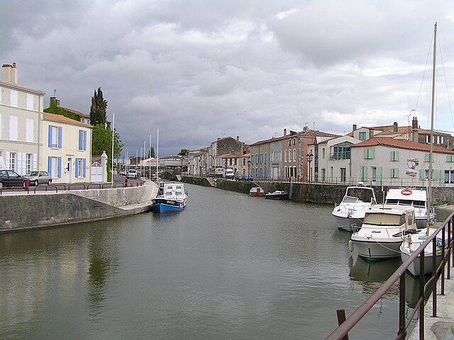
canton of Marans
- canton of France
- Country:

- Capital: Marans
- Coordinates: 46° 17' 0" N, 1° 2' 0" E


- GPS tracks (wikiloc): [Link]
- Population: 29292


