arrondissement of Largentière (arrondissement de Largentière)

- arrondissement of France
- Country:

- Capital: Largentière
- Coordinates: 44° 35' 0" N, 4° 10' 0" E


- GPS tracks (wikiloc): [Link]
- Population: 101208
- Wikipedia en: wiki(en)
- Wikipedia: wiki(fr)
- Wikidata storage: Wikidata: Q701417
- Freebase ID: [/m/095hjp]
- GeoNames ID: Alt: [3006956]
- INSEE arrondissement code: [071]
- GNS Unique Feature ID: -1438435
Includes regions:
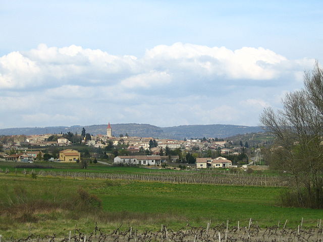
canton of Villeneuve-de-Berg
- canton of France (until March 2015)
- Country:
- Capital: Villeneuve-de-Berg
- Coordinates: 44° 33' 28" N, 4° 30' 10" E
- GPS tracks (wikiloc): [Link]

canton of Vals-les-Bains
- canton of France
- Country:
- Capital: Vals-les-Bains
- Coordinates: 44° 39' 59" N, 4° 22' 1" E
- GPS tracks (wikiloc): [Link]

canton of Antraigues-sur-Volane
- canton of France
- Country:
- Capital: Antraigues-sur-Volane
- Coordinates: 44° 43' 9" N, 4° 21' 30" E
- GPS tracks (wikiloc): [Link]


canton of Les Cévennes ardéchoises
- canton of France
- Country:
- Capital: Les Vans
- Coordinates: 44° 24' 21" N, 4° 7' 58" E
- GPS tracks (wikiloc): [Link]
- Population: 18308

canton of Montpezat-sous-Bauzon
- canton of France
- Country:
- Capital: Montpezat-sous-Bauzon
- Coordinates: 44° 42' 47" N, 4° 12' 26" E
- GPS tracks (wikiloc): [Link]

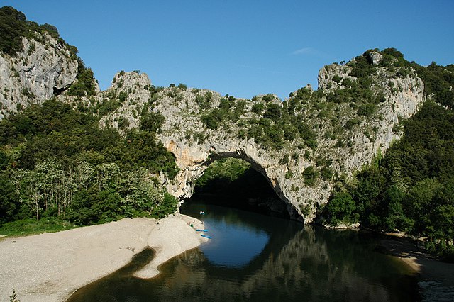

canton of Vallon-Pont-d'Arc
- canton of France
- Country:
- Capital: Vallon-Pont-d'Arc
- Coordinates: 44° 24' 28" N, 4° 23' 40" E
- GPS tracks (wikiloc): [Link]
- Population: 20689

canton of Saint-Étienne-de-Lugdarès
- canton of France (until March 2015)
- Country:
- Capital: Saint-Étienne-de-Lugdarès
- Coordinates: 44° 39' 9" N, 3° 57' 23" E
- GPS tracks (wikiloc): [Link]
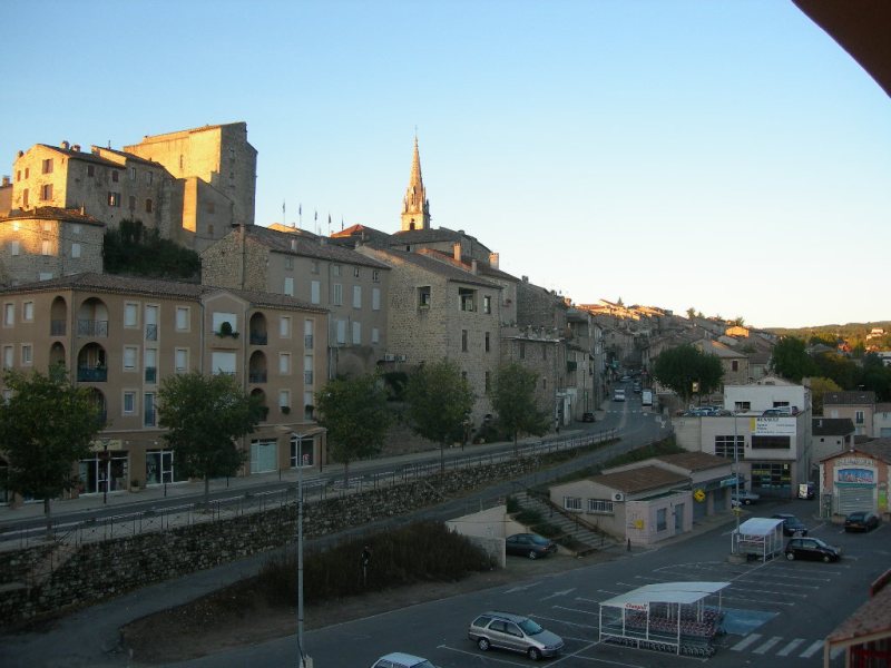
canton of Largentière
- canton of France (until March 2015)
- Country:
- Capital: Largentière
- Coordinates: 44° 32' 37" N, 4° 17' 39" E
- GPS tracks (wikiloc): [Link]


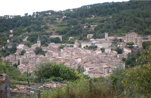
canton of Haute-Ardèche
- canton of France
- Country:
- Capital: Thueyts
- Coordinates: 44° 40' 37" N, 4° 13' 20" E
- GPS tracks (wikiloc): [Link]
- Population: 14200

