canton of Largentière (canton de Largentière)
- canton of France (until March 2015)
- Country:

- Capital: Largentière
- Coordinates: 44° 32' 37" N, 4° 17' 39" E


- GPS tracks (wikiloc): [Link]
- Wikidata storage: Wikidata: Q646094
- INSEE canton code: [0711]
Includes regions:
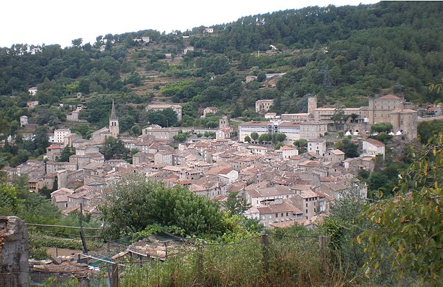
Largentière
- commune in Ardèche, France
- Country:
- Postal Code: 07110
- Coordinates: 44° 32' 34" N, 4° 17' 36" E
- GPS tracks (wikiloc): [Link]
- Area: 7.22 sq km
- Population: 1724
- Web site: [Link]

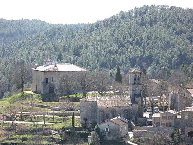
Chazeaux
- commune in Ardèche, France
- Country:
- Postal Code: 07110
- Coordinates: 44° 35' 41" N, 4° 18' 23" E
- GPS tracks (wikiloc): [Link]
- Area: 4.62 sq km
- Population: 125

Sanilhac
- commune in Ardèche, France
- Country:
- Postal Code: 07110
- Coordinates: 44° 32' 9" N, 4° 15' 0" E
- GPS tracks (wikiloc): [Link]
- Area: 20.95 sq km
- Population: 459

Rocher
- commune in Ardèche, France
- Country:
- Postal Code: 07110
- Coordinates: 44° 34' 37" N, 4° 17' 6" E
- GPS tracks (wikiloc): [Link]
- Area: 3.09 sq km
- Population: 277
Joannas
- commune in Ardèche, France
- Country:
- Postal Code: 07110
- Coordinates: 44° 33' 56" N, 4° 15' 6" E
- GPS tracks (wikiloc): [Link]
- Area: 11.93 sq km
- Population: 311

Chassiers
- commune in Ardèche, France
- Country:
- Postal Code: 07110
- Coordinates: 44° 33' 3" N, 4° 17' 49" E
- GPS tracks (wikiloc): [Link]
- Area: 12.26 sq km
- Population: 1016
Chauzon
- commune in Ardèche, France
- Country:
- Postal Code: 07120
- Coordinates: 44° 29' 7" N, 4° 21' 37" E
- GPS tracks (wikiloc): [Link]
- Area: 10.68 sq km
- Population: 368

Rocles
- commune in Ardèche, France
- Country:
- Postal Code: 07110
- Coordinates: 44° 33' 45" N, 4° 12' 57" E
- GPS tracks (wikiloc): [Link]
- Area: 16.51 sq km
- Population: 241

Tauriers
- commune in Ardèche, France
- Country:
- Postal Code: 07110
- Coordinates: 44° 33' 6" N, 4° 16' 51" E
- GPS tracks (wikiloc): [Link]
- Area: 4.51 sq km
- Population: 184

Vinezac
- commune in Ardèche, France
- Country:
- Postal Code: 07110
- Coordinates: 44° 32' 18" N, 4° 19' 31" E
- GPS tracks (wikiloc): [Link]
- AboveSeaLevel: 228 м m
- Area: 10.91 sq km
- Population: 1359

Laurac-en-Vivarais
- commune in Ardèche, France
- Country:
- Postal Code: 07110
- Coordinates: 44° 30' 31" N, 4° 17' 26" E
- GPS tracks (wikiloc): [Link]
- Area: 8.97 sq km
- Population: 988

Uzer
- commune in Ardèche, France
- Country:
- Postal Code: 07110
- Coordinates: 44° 31' 9" N, 4° 19' 35" E
- GPS tracks (wikiloc): [Link]
- Area: 3.51 sq km
- Population: 427
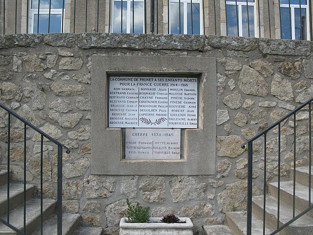
Prunet
- commune in Ardèche, France
- Country:
- Postal Code: 07110
- Coordinates: 44° 35' 50" N, 4° 15' 39" E
- GPS tracks (wikiloc): [Link]
- Area: 8.81 sq km
- Population: 132