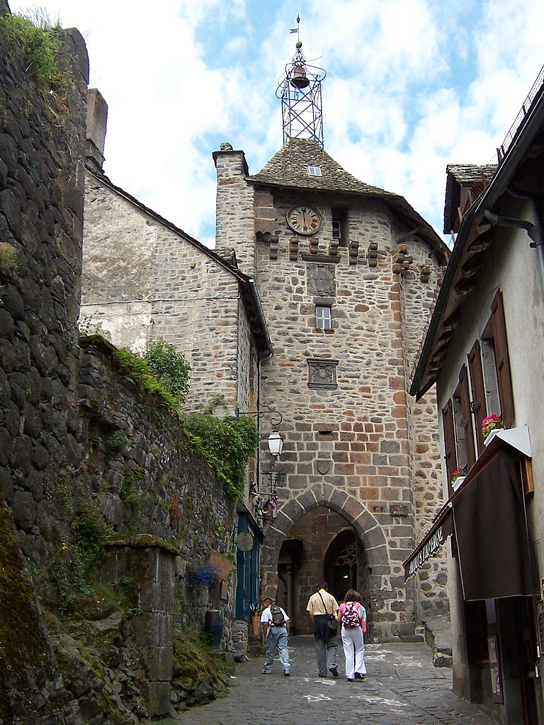
arrondissement of Mauriac (arrondissement de Mauriac)
- arrondissement of France
- Country:

- Capital: Mauriac
- Coordinates: 45° 13' 6" N, 2° 20' 13" E


- GPS tracks (wikiloc): [Link]
- Area: 1278 sq km
- Population: 26053
- Wikipedia en: wiki(en)
- Wikipedia: wiki(fr)
- Wikidata storage: Wikidata: Q701652
- Freebase ID: [/m/095j6f]
- GeoNames ID: Alt: [2995023]
- INSEE arrondissement code: [152]
Includes regions:


canton of Mauriac
- canton of France
- Country:

- Capital: Mauriac
- Coordinates: 45° 13' 11" N, 2° 20' 3" E


- GPS tracks (wikiloc): [Link]
- Population: 10969

canton of Champs-sur-Tarentaine-Marchal
- canton of France (until March 2015)
- Country:

- Capital: Champs-sur-Tarentaine-Marchal
- Coordinates: 45° 23' 48" N, 2° 33' 42" E


- GPS tracks (wikiloc): [Link]
- AboveSeaLevel: 966 м m


canton of Riom-ès-Montagnes
- canton of France
- Country:

- Capital: Riom-ès-Montagnes
- Coordinates: 45° 16' 59" N, 2° 39' 38" E


- GPS tracks (wikiloc): [Link]
- Population: 7928


