canton of Salers (canton de Salers)
- canton of France (until March 2015)
- Country:

- Capital: Salers
- Coordinates: 45° 8' 20" N, 2° 29' 42" E


- GPS tracks (wikiloc): [Link]
- Wikidata storage: Wikidata: Q169450
- INSEE canton code: [1522]
Includes regions:


Le Falgoux
- commune in Cantal, France
- Country:

- Postal Code: 15380
- Coordinates: 45° 9' 19" N, 2° 37' 21" E


- GPS tracks (wikiloc): [Link]
- Area: 30.59 sq km
- Population: 128

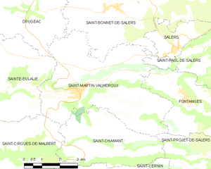
Saint-Martin-Valmeroux
- commune in Cantal, France
- Country:

- Postal Code: 15140
- Coordinates: 45° 7' 3" N, 2° 25' 30" E


- GPS tracks (wikiloc): [Link]
- Area: 25.92 sq km
- Population: 793


Le Vaulmier
- commune in Cantal, France
- Country:

- Postal Code: 15380
- Coordinates: 45° 11' 21" N, 2° 33' 59" E


- GPS tracks (wikiloc): [Link]
- Area: 17.51 sq km
- Population: 70


Saint-Vincent-de-Salers
- commune in Cantal, France
- Country:

- Postal Code: 15380
- Coordinates: 45° 12' 11" N, 2° 31' 54" E


- GPS tracks (wikiloc): [Link]
- AboveSeaLevel: 740 м m
- Area: 18.87 sq km
- Population: 67
Le Fau
- commune in Cantal, France
- Country:

- Postal Code: 15140
- Coordinates: 45° 6' 6" N, 2° 35' 3" E


- GPS tracks (wikiloc): [Link]
- Area: 19.46 sq km
- Population: 31
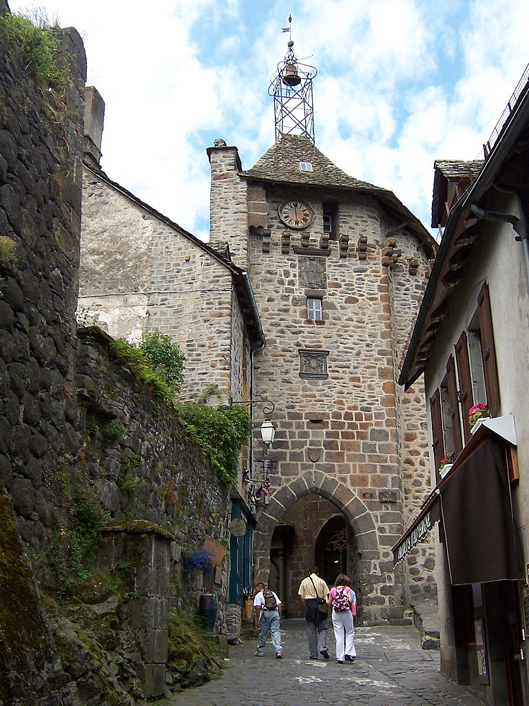
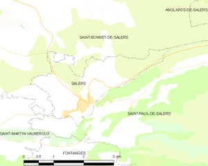
Salers
- commune in Cantal, France
- Country:

- Postal Code: 15140
- Coordinates: 45° 8' 17" N, 2° 29' 39" E


- GPS tracks (wikiloc): [Link]
- Area: 4.85 sq km
- Population: 335


Saint-Chamant
- commune in Cantal, France
- Country:

- Postal Code: 15140
- Coordinates: 45° 5' 27" N, 2° 26' 21" E


- GPS tracks (wikiloc): [Link]
- Area: 13.72 sq km
- Population: 234


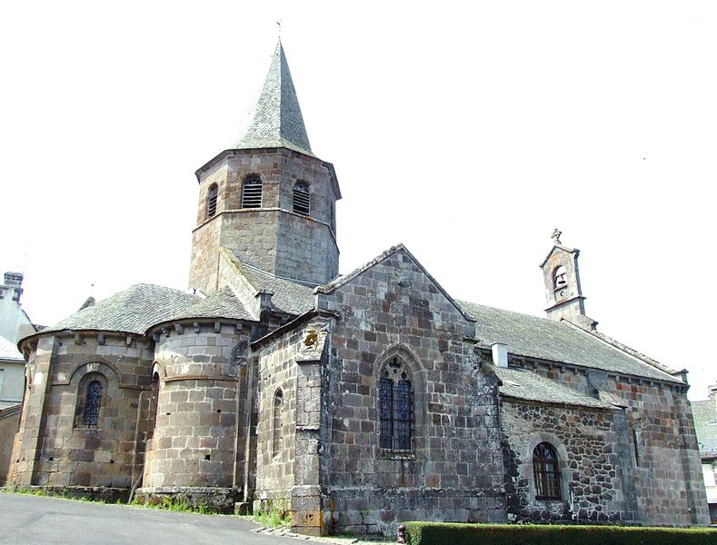
Saint-Paul-de-Salers
- commune in Cantal, France
- Country:

- Postal Code: 15140
- Coordinates: 45° 8' 23" N, 2° 30' 59" E


- GPS tracks (wikiloc): [Link]
- Area: 36.57 sq km
- Population: 106

Anglards-de-Salers
- commune in Cantal, France
- Country:

- Postal Code: 15380
- Coordinates: 45° 12' 17" N, 2° 26' 24" E


- GPS tracks (wikiloc): [Link]
- Area: 48.36 sq km
- Population: 788

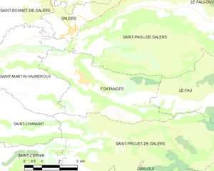
Fontanges
- commune in Cantal, France
- Country:

- Postal Code: 15140
- Coordinates: 45° 6' 49" N, 2° 30' 14" E


- GPS tracks (wikiloc): [Link]
- Area: 18.04 sq km
- Population: 205
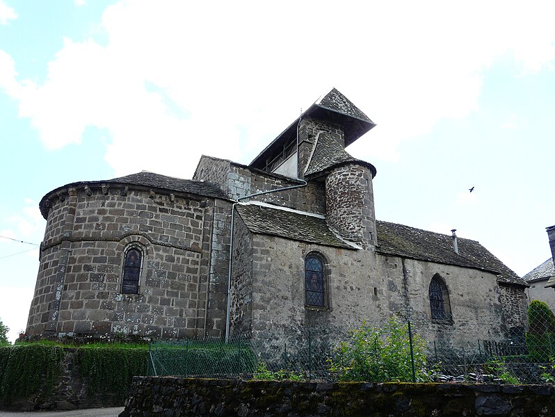

Saint-Bonnet-de-Salers
- commune in Cantal, France
- Country:

- Postal Code: 15140
- Coordinates: 45° 9' 38" N, 2° 27' 11" E


- GPS tracks (wikiloc): [Link]
- Area: 32.67 sq km
- Population: 289


Saint-Projet-de-Salers
- commune in Cantal, France
- Country:

- Postal Code: 15140
- Coordinates: 45° 5' 8" N, 2° 31' 36" E


- GPS tracks (wikiloc): [Link]
- Area: 36.32 sq km
- Population: 138