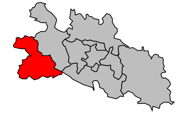
arrondissement of Pamiers (arrondissement de Pamiers)
- arrondissement of France
- Country:

- Capital: Pamiers
- Coordinates: 43° 5' 0" N, 1° 30' 0" E


- GPS tracks (wikiloc): [Link]
- Area: 1315 sq km
- Population: 64374
- Wikipedia en: wiki(en)
- Wikipedia: wiki(fr)
- Wikidata storage: Wikidata: Q702045
- Freebase ID: [/m/095glc]
- GeoNames ID: Alt: [2988669]
- Library of Congress authority ID: Alt: [n96012401]
- INSEE arrondissement code: [092]
- GNS Unique Feature ID: -1456765
Includes regions:

canton of Le Mas-d'Azil
- canton of France (until March 2015)
- Country:

- Capital: Le Mas-d'Azil
- Coordinates: 43° 4' 54" N, 1° 21' 41" E


- GPS tracks (wikiloc): [Link]


canton of Mirepoix
- canton of France
- Country:

- Capital: Mirepoix
- Coordinates: 43° 5' 23" N, 1° 52' 28" E


- GPS tracks (wikiloc): [Link]
- Area: 350.94 sq km
- Population: 13297


