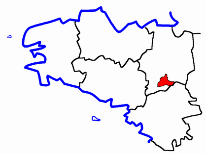
arrondissement of Redon (arrondissement de Redon)

- arrondissement of France
- Country:

- Capital: Redon
- Coordinates: 47° 50' 0" N, 1° 50' 0" E


- GPS tracks (wikiloc): [Link]
- Area: 1335 sq km
- Population: 101710
- Wikipedia en: wiki(en)
- Wikipedia: wiki(fr)
- Wikidata storage: Wikidata: Q702180
- Freebase ID: [/m/095fnf]
- GeoNames ID: Alt: [2984191]
- INSEE arrondissement code: [352]
- GNS Unique Feature ID: -1461263
Includes regions:

canton of Bain-de-Bretagne
- canton of France
- Country:
- Capital: Bain-de-Bretagne
- Coordinates: 47° 51' 50" N, 1° 40' 0" E
- GPS tracks (wikiloc): [Link]
- Area: 461.85 sq km
- Population: 31832

canton of Grand-Fougeray
- canton of France
- Country:
- Capital: Grand-Fougeray
- Coordinates: 47° 44' 47" N, 1° 42' 58" E
- GPS tracks (wikiloc): [Link]
- Area: 127.6 sq km


canton of Guichen
- canton of France
- Country:
- Capital: Guichen
- Coordinates: 47° 57' 35" N, 1° 49' 5" E
- GPS tracks (wikiloc): [Link]
- Population: 34310

canton of Le Sel-de-Bretagne
- canton of France
- Country:
- Capital: Le Sel-de-Bretagne
- Coordinates: 47° 54' 17" N, 1° 34' 15" E
- GPS tracks (wikiloc): [Link]

canton of Maure-de-Bretagne
- canton of France
- Country:
- Capital: Maure-de-Bretagne
- Coordinates: 47° 54' 27" N, 2° 0' 36" E
- GPS tracks (wikiloc): [Link]

canton of Redon
- canton of France
- Country:
- Capital: Redon
- Coordinates: 47° 41' 56" N, 1° 59' 6" E
- GPS tracks (wikiloc): [Link]
- Area: 452.18 sq km
- Population: 35568
