arrondissement of Rochefort (arrondissement de Rochefort)

- arrondissement of France
- Country:

- Capital: Rochefort
- Coordinates: 45° 55' 0" N, 1° 0' 0" E


- GPS tracks (wikiloc): [Link]
- Area: 1528 sq km
- Population: 189208
- Wikipedia en: wiki(en)
- Wikipedia: wiki(fr)
- Wikidata storage: Wikidata: Q376598
- Freebase ID: [/m/095fx7]
- GeoNames ID: Alt: [2983272]
- INSEE arrondissement code: [172]
- GNS Unique Feature ID: -1462184
Includes regions:

canton of Rochefort-Nord
- canton of France (until March 2015)
- Country:
- Capital: Rochefort
- Coordinates: 45° 56' 0" N, 0° 59' 0" E
- GPS tracks (wikiloc): [Link]
- Population: 13074

canton of Aigrefeuille-d'Aunis
- canton of France
- Country:
- Capital: Aigrefeuille-d'Aunis
- Coordinates: 46° 5' 0" N, 0° 54' 0" E
- GPS tracks (wikiloc): [Link]


canton of La Tremblade
- canton of France
- Country:
- Capital: La Tremblade
- Coordinates: 45° 43' 41" N, 1° 6' 46" E
- GPS tracks (wikiloc): [Link]
- Population: 22685

canton of Le Château-d'Oléron
- canton of France
- Country:
- Capital: Le Château-d'Oléron
- Coordinates: 45° 52' 31" N, 1° 13' 34" E
- GPS tracks (wikiloc): [Link]


canton of Marennes
- canton of France
- Country:
- Capital: Marennes
- Coordinates: 45° 47' 46" N, 1° 2' 30" E
- GPS tracks (wikiloc): [Link]
- Population: 21602

canton of Saint-Agnant
- canton of France
- Country:
- Capital: Saint-Agnant
- Coordinates: 45° 53' 2" N, 0° 59' 48" E
- GPS tracks (wikiloc): [Link]

canton of Saint-Pierre-d'Oléron
- canton of France
- Country:
- Capital: Saint-Pierre-d'Oléron
- Coordinates: 45° 59' 31" N, 1° 20' 27" E
- GPS tracks (wikiloc): [Link]


canton of Tonnay-Charente
- canton of France
- Country:
- Capital: Tonnay-Charente
- Coordinates: 45° 57' 59" N, 0° 49' 49" E
- GPS tracks (wikiloc): [Link]
- Population: 27372


canton of Surgères
- canton of France
- Country:
- Capital: Surgères
- Coordinates: 46° 6' 42" N, 0° 44' 15" E
- GPS tracks (wikiloc): [Link]
- Population: 28611
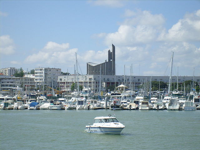

Royan
- commune in Charente-Maritime, France
- Country:
- Postal Code: 17200
- Coordinates: 45° 37' 42" N, 1° 1' 41" E
- GPS tracks (wikiloc): [Link]
- Area: 19.3 sq km
- Population: 18393
- Web site: [Link]