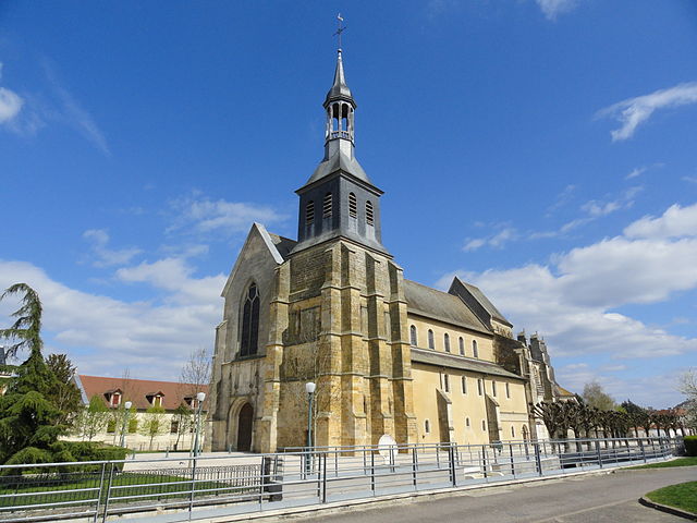
arrondissement of Saint-Dizier (arrondissement de Saint-Dizier)
- arrondissement of France
- Country:

- Capital: Saint-Dizier
- Coordinates: 48° 25' 0" N, 5° 5' 0" E


- GPS tracks (wikiloc): [Link]
- Area: 1571 sq km
- Population: 70680
- Wikipedia en: wiki(en)
- Wikipedia: wiki(fr)
- Wikidata storage: Wikidata: Q669949
- Freebase ID: [/m/0954f4]
- GeoNames ID: Alt: [2980815]
- INSEE arrondissement code: [523]
- GNS Unique Feature ID: -1464648
Includes regions:


canton of Poissons
- canton of France
- Country:

- Capital: Poissons
- Coordinates: 48° 26' 15" N, 5° 18' 12" E


- GPS tracks (wikiloc): [Link]
- Population: 8973

canton of Doulaincourt-Saucourt
- canton of France
- Country:

- Capital: Doulaincourt-Saucourt
- Coordinates: 48° 20' 58" N, 5° 10' 49" E


- GPS tracks (wikiloc): [Link]

canton of Doulevant-le-Château
- canton of France
- Country:

- Capital: Doulevant-le-Château
- Coordinates: 48° 21' 53" N, 4° 56' 11" E


- GPS tracks (wikiloc): [Link]

canton of Montier-en-Der
- canton of France
- Country:

- Capital: Montier-en-Der
- Coordinates: 48° 28' 18" N, 4° 46' 35" E


- GPS tracks (wikiloc): [Link]

canton of Saint-Dizier-Nord-Est
- canton of France
- Country:

- Capital: Saint-Dizier
- Coordinates: 48° 39' 12" N, 4° 58' 13" E


- GPS tracks (wikiloc): [Link]

canton of Saint-Dizier-Sud-Est
- canton of France
- Country:

- Capital: Saint-Dizier
- Coordinates: 48° 37' 0" N, 5° 0' 39" E


- GPS tracks (wikiloc): [Link]


canton of Wassy
- canton of France
- Country:

- Capital: Wassy
- Coordinates: 48° 29' 13" N, 4° 57' 55" E


- GPS tracks (wikiloc): [Link]
- Population: 11360


canton of Joinville
- canton of France
- Country:

- Capital: Joinville
- Coordinates: 48° 26' 36" N, 5° 7' 7" E


- GPS tracks (wikiloc): [Link]
- Population: 10998

canton of Saint-Dizier-Centre
- canton of France (until March 2015)
- Country:

- Capital: Saint-Dizier
- Coordinates: 48° 38' 13" N, 4° 56' 56" E


- GPS tracks (wikiloc): [Link]

canton of Saint-Dizier-Ouest
- canton of France (until March 2015)
- Country:

- Capital: Éclaron-Braucourt-Sainte-Livière
- Coordinates: 48° 37' 38" N, 4° 53' 8" E


- GPS tracks (wikiloc): [Link]

