arrondissement of Saint-Paul (arrondissement de Saint-Paul)

- arrondissement of France
- Country:

- Capital: Saint-Paul
- Coordinates: 21° 5' 0" S, 55° 20' 0" W


- GPS tracks (wikiloc): [Link]
- AboveSeaLevel: 1244 м m
- Population: 214795
- Wikipedia en: wiki(en)
- Wikipedia: wiki(fr)
- Wikidata storage: Wikidata: Q612189
- Freebase ID: [/m/09533x]
- GeoNames ID: Alt: [935220]
- INSEE arrondissement code: [9744]
Includes regions:

canton of Saint-Paul-4
- canton of France (until March 2015)
- Country:
- Capital: Saint-Paul
- Coordinates: 20° 59' 56" S, 55° 16' 16" W
- GPS tracks (wikiloc): [Link]


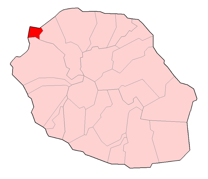
canton of La Possession
- canton of France
- Country:
- Capital: La Possession
- Coordinates: 20° 55' 31" S, 55° 20' 12" W
- GPS tracks (wikiloc): [Link]
- Population: 28545
canton of Saint-Paul-5
- canton of France (until March 2015)
- Country:
- Capital: Saint-Paul
- Coordinates: 20° 59' 56" S, 55° 16' 16" W
- GPS tracks (wikiloc): [Link]

canton of Saint-Paul-1
- canton of France
- Country:
- Capital: Saint-Paul
- Coordinates: 20° 59' 56" S, 55° 16' 16" W
- GPS tracks (wikiloc): [Link]
- Population: 32940

canton of Trois-Bassins
- canton of France (until March 2015)
- Country:
- Capital: Trois-Bassins
- Coordinates: 21° 6' 17" S, 55° 17' 46" W
- GPS tracks (wikiloc): [Link]

canton of Saint-Paul-3
- canton of France
- Country:
- Capital: Saint-Paul
- Coordinates: 20° 59' 56" S, 55° 16' 16" W
- GPS tracks (wikiloc): [Link]
- Population: 37459

canton of Saint-Paul-2
- canton of France
- Country:
- Capital: Saint-Paul
- Coordinates: 20° 59' 56" S, 55° 16' 16" W
- GPS tracks (wikiloc): [Link]
- Population: 38851