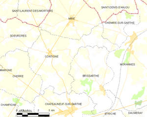
Châteauneuf-sur-Sarthe (Châteauneuf-sur-Sarthe)

- commune in Maine-et-Loire, France
- Country:

- Postal Code: 49330
- Coordinates: 47° 40' 51" N, 0° 29' 18" E


- GPS tracks (wikiloc): [Link]
- Area: 14.39 sq km
- Population: 3188
- Web site: http://www.chateauneufsursarthe.fr
- Wikipedia en: wiki(en)
- Wikipedia: wiki(fr)
- Wikidata storage: Wikidata: Q1104352
- Wikipedia Commons Category: [Link]
- Freebase ID: [/m/03qcpbx]
- GeoNames ID: Alt: [6449432]
- SIREN number: [214900805]
- BnF ID: [15261682h]
- VIAF ID: Alt: [139922439]
- Library of Congress authority ID: Alt: [no2006064505]
- PACTOLS thesaurus ID: [pcrtFcwlksn4iK]
- WOEID: [584990]
- INSEE municipality code: 49080
Shares border with regions:


Juvardeil
- commune in Maine-et-Loire, France
- Country:
- Postal Code: 49330
- Coordinates: 47° 39' 18" N, 0° 29' 56" E
- GPS tracks (wikiloc): [Link]
- Area: 18.95 sq km
- Population: 811


Cherré
- former commune in Maine-et-Loire, France
- Country:
- Postal Code: 49330
- Coordinates: 47° 42' 38" N, 0° 33' 48" E
- GPS tracks (wikiloc): [Link]
- Area: 13.91 sq km
- Population: 537

Contigné
- former commune in Maine-et-Loire, France
- Country:
- Postal Code: 49330
- Coordinates: 47° 43' 46" N, 0° 31' 1" E
- GPS tracks (wikiloc): [Link]
- Area: 23.31 sq km
- Population: 761

Brissarthe
- former commune in Maine-et-Loire, France
- Country:
- Postal Code: 49330
- Coordinates: 47° 42' 3" N, 0° 27' 1" E
- GPS tracks (wikiloc): [Link]
- Area: 16.99 sq km
- Population: 624

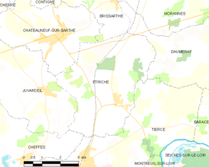
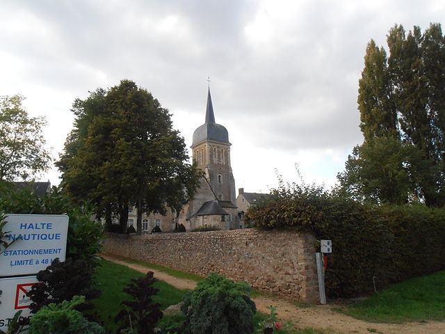
Étriché
- commune in Maine-et-Loire, France
- Country:
- Postal Code: 49330
- Coordinates: 47° 39' 3" N, 0° 26' 42" E
- GPS tracks (wikiloc): [Link]
- Area: 19.6 sq km
- Population: 1538
- Web site: [Link]