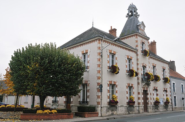
Artenay (Artenay)
- commune in Loiret, France
- Country:

- Postal Code: 45410
- Coordinates: 48° 4' 56" N, 1° 52' 42" E


- GPS tracks (wikiloc): [Link]
- Area: 20.5 sq km
- Population: 1832
- Web site: http://www.coeur-de-france.com/artenay.html
- Wikipedia en: wiki(en)
- Wikipedia: wiki(fr)
- Wikidata storage: Wikidata: Q706912
- Wikipedia Commons Category: [Link]
- Freebase ID: [/m/03nwffp]
- GeoNames ID: Alt: [3036694]
- SIREN number: [214500084]
- BnF ID: [15260401w]
- VIAF ID: Alt: [146767089]
- Library of Congress authority ID: Alt: [n99050339]
- PACTOLS thesaurus ID: [pcrtYeUThlQ4Qk]
- Pleiades ID: [108758]
- INSEE municipality code: 45008
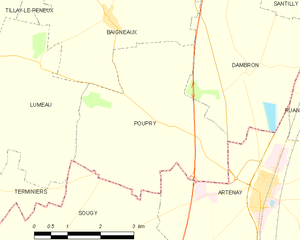
Shares border with regions:


Dambron
- commune in Eure-et-Loir, France
- Country:

- Postal Code: 28140
- Coordinates: 48° 6' 49" N, 1° 52' 16" E


- GPS tracks (wikiloc): [Link]
- Area: 11.99 sq km
- Population: 94
Ruan
- commune in Loiret, France
- Country:

- Postal Code: 45410
- Coordinates: 48° 6' 42" N, 1° 56' 21" E


- GPS tracks (wikiloc): [Link]
- AboveSeaLevel: 124 м m
- Area: 16.26 sq km
- Population: 206
Bucy-le-Roi
- commune in Loiret, France
- Country:

- Postal Code: 45410
- Coordinates: 48° 3' 37" N, 1° 55' 2" E


- GPS tracks (wikiloc): [Link]
- Area: 4.58 sq km
- Population: 171


Chevilly
- commune in Loiret, France
- Country:

- Postal Code: 45520
- Coordinates: 48° 1' 44" N, 1° 52' 25" E


- GPS tracks (wikiloc): [Link]
- Area: 41.76 sq km
- Population: 2713
- Web site: [Link]


Sougy
- commune in Loiret, France
- Country:

- Postal Code: 45410
- Coordinates: 48° 3' 13" N, 1° 47' 23" E


- GPS tracks (wikiloc): [Link]
- Area: 28.25 sq km
- Population: 845
Trinay
- commune in Loiret, France
- Country:

- Postal Code: 45410
- Coordinates: 48° 5' 8" N, 1° 57' 13" E


- GPS tracks (wikiloc): [Link]
- Area: 17.22 sq km
- Population: 231


Poupry
- commune in Eure-et-Loir, France
- Country:

- Postal Code: 28140
- Coordinates: 48° 5' 58" N, 1° 50' 19" E


- GPS tracks (wikiloc): [Link]
- Area: 14.48 sq km
- Population: 107
- Web site: [Link]
