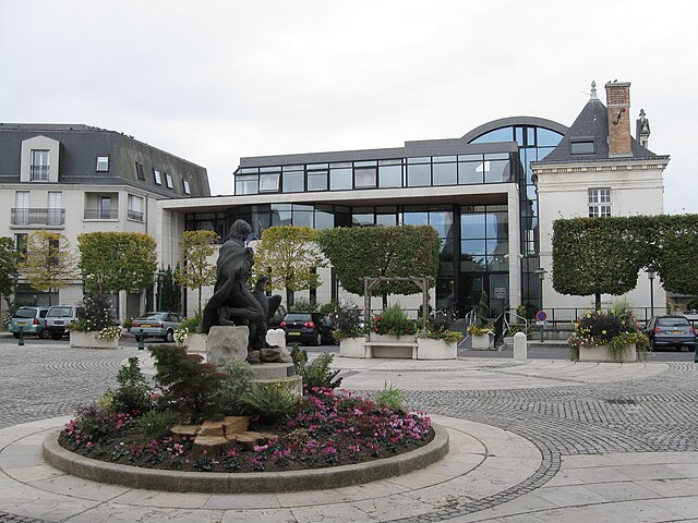
arrondissement of Orléans (arrondissement d'Orléans)

- arrondissement of France
- Country:

- Capital: Orléans
- Coordinates: 47° 55' 0" N, 2° 5' 0" E


- GPS tracks (wikiloc): [Link]
- Area: 2946 sq km
- Population: 438555
- Wikipedia en: wiki(en)
- Wikipedia: wiki(fr)
- Wikidata storage: Wikidata: Q702025
- Freebase ID: [/m/0955ct]
- GeoNames ID: Alt: [2989316]
- Library of Congress authority ID: Alt: [n89607670]
- INSEE arrondissement code: [452]
- GNS Unique Feature ID: -1456117
Includes regions:

canton of Saint-Jean-de-la-Ruelle
- canton of France
- Country:
- Capital: Saint-Jean-de-la-Ruelle
- Coordinates: 47° 55' 0" N, 1° 52' 0" E
- GPS tracks (wikiloc): [Link]
- Population: 35275

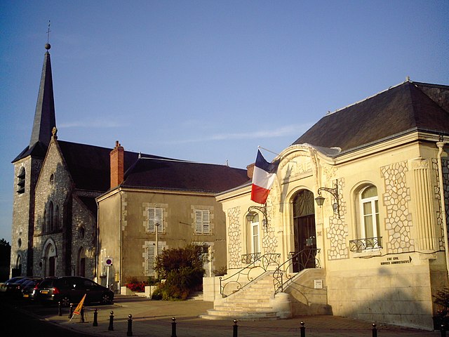
canton of Châteauneuf-sur-Loire
- canton of France
- Country:
- Capital: Châteauneuf-sur-Loire
- Coordinates: 47° 54' 2" N, 2° 16' 28" E
- GPS tracks (wikiloc): [Link]
- Population: 31063

canton of Meung-sur-Loire
- canton of France
- Country:
- Capital: Meung-sur-Loire
- Coordinates: 47° 53' 41" N, 1° 40' 37" E
- GPS tracks (wikiloc): [Link]
- Population: 35315

canton of Sully-sur-Loire
- canton of France
- Country:
- Capital: Sully-sur-Loire
- Coordinates: 47° 43' 16" N, 2° 22' 7" E
- GPS tracks (wikiloc): [Link]
- Population: 32337

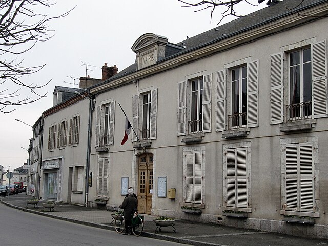
canton of La Ferté-Saint-Aubin
- canton of France
- Country:
- Capital: La Ferté-Saint-Aubin
- Coordinates: 47° 42' 37" N, 1° 56' 28" E
- GPS tracks (wikiloc): [Link]
- Population: 30583

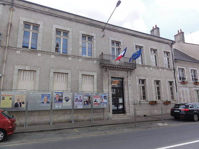
canton of Cléry-Saint-André
- canton of France (until March 2015)
- Country:
- Capital: Cléry-Saint-André
- Coordinates: 47° 49' 14" N, 1° 45' 2" E
- GPS tracks (wikiloc): [Link]
canton of Jargeau
- canton of France (until March 2015)
- Country:
- Capital: Jargeau
- Coordinates: 47° 51' 59" N, 2° 7' 22" E
- GPS tracks (wikiloc): [Link]
- Area: 245.85 sq km
- Population: 18909
canton of Fleury-les-Aubrais
- canton of France
- Country:
- Capital: Fleury-les-Aubrais
- Coordinates: 47° 57' 31" N, 1° 55' 24" E
- GPS tracks (wikiloc): [Link]
- Population: 32709


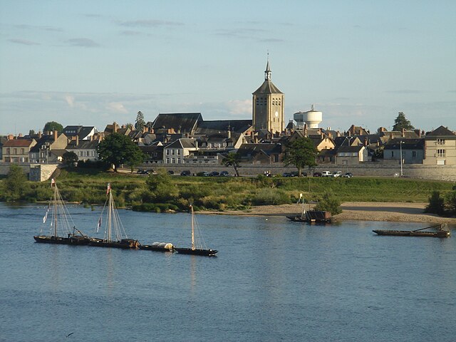
canton of Ouzouer-sur-Loire
- canton of France (until March 2015)
- Country:
- Capital: Ouzouer-sur-Loire
- Coordinates: 47° 47' 45" N, 2° 24' 33" E
- GPS tracks (wikiloc): [Link]

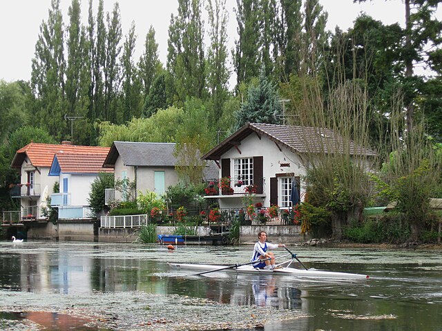
canton of Beaugency
- canton of France
- Country:
- Capital: Beaugency
- Coordinates: 47° 47' 37" N, 1° 37' 49" E
- GPS tracks (wikiloc): [Link]
- Population: 25845
canton of Olivet
- canton of France
- Country:
- Capital: Olivet
- Coordinates: 47° 52' 12" N, 1° 52' 2" E
- GPS tracks (wikiloc): [Link]
- Population: 30117

canton of Saint-Jean-de-Braye
- canton of France
- Country:
- Capital: Saint-Jean-de-Braye
- Coordinates: 47° 55' 23" N, 1° 57' 26" E
- GPS tracks (wikiloc): [Link]
- Population: 38398

canton of Saint-Jean-le-Blanc
- canton of France
- Country:
- Capital: Saint-Jean-le-Blanc
- Coordinates: 47° 52' 3" N, 1° 56' 50" E
- GPS tracks (wikiloc): [Link]
- Population: 27135

canton of Orléans-Bourgogne
- canton of France (until March 2015)
- Country:
- Capital: Orléans
canton of Orléans-La Source
- canton of France (until March 2015)
- Country:
- Capital: Orléans
canton of Orléans-Saint-Marc-Argonne
- canton of France (until March 2015)
- Country:
- Capital: Orléans
canton of Orléans-Saint-Marceau
- canton of France (until March 2015)
- Country:
- Capital: Orléans

canton of Neuville-aux-Bois
- canton of France (until March 2015)
- Country:
- Capital: Neuville-aux-Bois
- Coordinates: 48° 0' 38" N, 2° 4' 22" E
- GPS tracks (wikiloc): [Link]