Artzenheim (Artzenheim)

- commune in Haut-Rhin, France
- Country:

- Postal Code: 68320
- Coordinates: 48° 6' 55" N, 7° 32' 29" E


- GPS tracks (wikiloc): [Link]
- AboveSeaLevel: 186 м m
- Area: 9.69 sq km
- Population: 830
- Web site: http://artzenheim.free.fr
- Wikipedia en: wiki(en)
- Wikipedia: wiki(fr)
- Wikidata storage: Wikidata: Q317377
- Wikipedia Commons Category: [Link]
- Freebase ID: [/m/03m48h5]
- Freebase ID: [/m/03m48h5]
- GeoNames ID: Alt: [6614074]
- GeoNames ID: Alt: [6614074]
- SIREN number: [216800094]
- SIREN number: [216800094]
- BnF ID: [152717135]
- BnF ID: [152717135]
- INSEE municipality code: 68009
- INSEE municipality code: 68009
Shares border with regions:

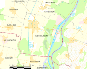
Marckolsheim
- commune in Bas-Rhin, France
- Country:
- Postal Code: 67390
- Coordinates: 48° 9' 50" N, 7° 32' 38" E
- GPS tracks (wikiloc): [Link]
- Area: 33.36 sq km
- Population: 4154
- Web site: [Link]


Baltzenheim
- commune in Haut-Rhin, France
- Country:
- Postal Code: 68320
- Coordinates: 48° 5' 38" N, 7° 33' 21" E
- GPS tracks (wikiloc): [Link]
- Area: 6.52 sq km
- Population: 581
- Web site: [Link]

Durrenentzen
- commune in Haut-Rhin, France
- Country:
- Postal Code: 68320
- Coordinates: 48° 5' 33" N, 7° 30' 10" E
- GPS tracks (wikiloc): [Link]
- Area: 6.22 sq km
- Population: 886

Vogtsburg im Kaiserstuhl
- town in Baden-Württemberg, Germany
 Hiking in Vogtsburg im Kaiserstuhl
Vogtsburg, located in the Baden-Württemberg region of Germany, is nestled in the beautiful Kaiserstuhl area, which is known for its scenic landscapes, vineyards, and diverse hiking trails. Here are some highlights of hiking in Vogtsburg:...
- Country:

- Postal Code: 79235
- Local Dialing Code: 07662
- Licence Plate Code: FR
- Coordinates: 48° 5' 21" N, 7° 37' 54" E
- GPS tracks (wikiloc): [Link]
- AboveSeaLevel: 302 м m
- Area: 37.36 sq km
- Population: 5853
- Web site: [Link]

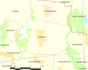
Jebsheim
- commune in Haut-Rhin, France
- Country:
- Postal Code: 68320
- Coordinates: 48° 7' 25" N, 7° 28' 36" E
- GPS tracks (wikiloc): [Link]
- Area: 14.85 sq km
- Population: 1358