Augnat (Augnat)

- commune in Puy-de-Dôme, France
- Country:

- Postal Code: 63340
- Coordinates: 45° 24' 42" N, 3° 10' 55" E


- GPS tracks (wikiloc): [Link]
- Area: 9.54 sq km
- Population: 158
- Wikipedia en: wiki(en)
- Wikipedia: wiki(fr)
- Wikidata storage: Wikidata: Q664054
- Wikipedia Commons Category: [Link]
- Freebase ID: [/m/03qh7l5]
- GeoNames ID: Alt: [6450302]
- SIREN number: [216300178]
- BnF ID: [15269367q]
- INSEE municipality code: 63017
Shares border with regions:


Saint-Gervazy
- commune in Puy-de-Dôme, France
- Country:
- Postal Code: 63340
- Coordinates: 45° 24' 54" N, 3° 12' 59" E
- GPS tracks (wikiloc): [Link]
- Area: 14.23 sq km
- Population: 320

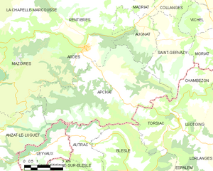
Apchat
- commune in Puy-de-Dôme, France
- Country:
- Postal Code: 63420
- Coordinates: 45° 23' 22" N, 3° 8' 45" E
- GPS tracks (wikiloc): [Link]
- Area: 35.86 sq km
- Population: 163
Madriat
- commune in Puy-de-Dôme, France
- Country:
- Postal Code: 63340
- Coordinates: 45° 25' 57" N, 3° 11' 13" E
- GPS tracks (wikiloc): [Link]
- Area: 4.69 sq km
- Population: 114

Rentières
- commune in Puy-de-Dôme, France
- Country:
- Postal Code: 63420
- Coordinates: 45° 25' 0" N, 3° 5' 55" E
- GPS tracks (wikiloc): [Link]
- Area: 15.59 sq km
- Population: 116

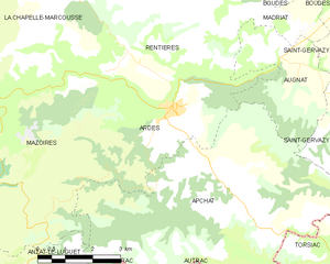
Ardes
- commune in Puy-de-Dôme, France
- Country:
- Postal Code: 63420
- Coordinates: 45° 24' 13" N, 3° 7' 35" E
- GPS tracks (wikiloc): [Link]
- AboveSeaLevel: 630 м m
- Area: 16.59 sq km
- Population: 516