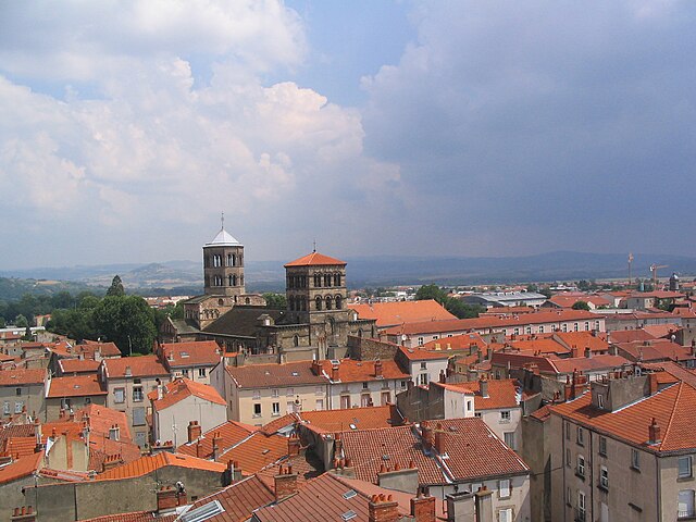
arrondissement of Issoire (arrondissement d'Issoire)

- arrondissement of France
- Country:

- Capital: Issoire
- Coordinates: 45° 30' 0" N, 3° 0' 0" E


- GPS tracks (wikiloc): [Link]
- Area: 1820 sq km
- Population: 77213
- Wikipedia en: wiki(en)
- Wikipedia: wiki(fr)
- Wikidata storage: Wikidata: Q701309
- Freebase ID: [/m/095j_k]
- GeoNames ID: Alt: [3012661]
- INSEE arrondissement code: [633]
- GNS Unique Feature ID: -1432722
Includes regions:

canton of Besse-et-Saint-Anastaise
- canton of France
- Country:
- Capital: Besse-et-Saint-Anastaise
- Coordinates: 45° 29' 56" N, 2° 56' 5" E
- GPS tracks (wikiloc): [Link]


canton of La Tour-d'Auvergne
- canton of France (until March 2015)
- Country:
- Capital: La Tour-d'Auvergne
- Coordinates: 45° 28' 56" N, 2° 40' 43" E
- GPS tracks (wikiloc): [Link]

canton of Saint-Germain-Lembron
- canton of France (until March 2015)
- Country:
- Capital: Saint-Germain-Lembron
- Coordinates: 45° 27' 21" N, 3° 13' 59" E
- GPS tracks (wikiloc): [Link]


canton of Champeix
- township of France
- Country:
- Capital: Champeix
- Coordinates: 45° 33' 47" N, 3° 5' 43" E
- GPS tracks (wikiloc): [Link]
- Area: 159.4 sq km

canton of Sauxillanges
- canton of France (until March 2015)
- Country:
- Capital: Sauxillanges
- Coordinates: 45° 31' 34" N, 3° 22' 14" E
- GPS tracks (wikiloc): [Link]

canton of Issoire
- canton of France
- Country:
- Capital: Issoire
- Coordinates: 45° 33' 37" N, 3° 13' 31" E
- GPS tracks (wikiloc): [Link]
- Population: 20818