Ayguesvives (Ayguesvives)

- commune in Haute-Garonne, France
- Country:

- Postal Code: 31450
- Coordinates: 43° 26' 14" N, 1° 35' 49" E


- GPS tracks (wikiloc): [Link]
- Area: 13.11 sq km
- Population: 2589
- Web site: http://www.ayguesvives31.fr
- Wikipedia en: wiki(en)
- Wikipedia: wiki(fr)
- Wikidata storage: Wikidata: Q651227
- Wikipedia Commons Category: [Link]
- Freebase ID: [/m/03nsy2t]
- Freebase ID: [/m/03nsy2t]
- GeoNames ID: Alt: [6452250]
- GeoNames ID: Alt: [6452250]
- SIREN number: [213100043]
- SIREN number: [213100043]
- BnF ID: [15255000f]
- BnF ID: [15255000f]
- PACTOLS thesaurus ID: [pcrtHxMxQeTPAK]
- PACTOLS thesaurus ID: [pcrtHxMxQeTPAK]
- Digital Atlas of the Roman Empire ID: [11148]
- Digital Atlas of the Roman Empire ID: [11148]
- INSEE municipality code: 31004
- INSEE municipality code: 31004
Shares border with regions:


Montgiscard
- commune in Haute-Garonne, France
- Country:
- Postal Code: 31450
- Coordinates: 43° 27' 28" N, 1° 34' 25" E
- GPS tracks (wikiloc): [Link]
- Area: 13.16 sq km
- Population: 2222
- Web site: [Link]

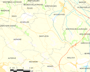
Saint-Léon
- commune in Haute-Garonne, France
- Country:
- Postal Code: 31560
- Coordinates: 43° 24' 1" N, 1° 33' 39" E
- GPS tracks (wikiloc): [Link]
- Area: 24.21 sq km
- Population: 1246
- Web site: [Link]


Nailloux
- commune in Haute-Garonne, France
- Country:
- Postal Code: 31560
- Coordinates: 43° 21' 21" N, 1° 37' 24" E
- GPS tracks (wikiloc): [Link]
- Area: 18.55 sq km
- Population: 3706
- Web site: [Link]

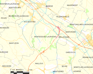
Montesquieu-Lauragais
- commune in Haute-Garonne, France
- Country:
- Postal Code: 31450
- Coordinates: 43° 24' 59" N, 1° 37' 43" E
- GPS tracks (wikiloc): [Link]
- Area: 24.75 sq km
- Population: 946
- Web site: [Link]


Baziège
- commune in Haute-Garonne, France
- Country:
- Postal Code: 31450
- Coordinates: 43° 27' 16" N, 1° 36' 54" E
- GPS tracks (wikiloc): [Link]
- Area: 19.72 sq km
- Population: 3301
- Web site: [Link]