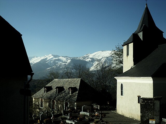
Ayros-Arbouix (Ayros-Arbouix)

- commune in Hautes-Pyrénées, France
- Country:

- Postal Code: 65400
- Coordinates: 43° 0' 17" N, 0° 3' 56" E


- GPS tracks (wikiloc): [Link]
- Area: 2.72 sq km
- Population: 313
- Wikipedia en: wiki(en)
- Wikipedia: wiki(fr)
- Wikidata storage: Wikidata: Q1110930
- Wikipedia Commons Category: [Link]
- Freebase ID: [/m/03nv30w]
- Freebase ID: [/m/03nv30w]
- GeoNames ID: Alt: [6450465]
- GeoNames ID: Alt: [6450465]
- SIREN number: [216500553]
- SIREN number: [216500553]
- BnF ID: [15270436r]
- BnF ID: [15270436r]
- INSEE municipality code: 65055
- INSEE municipality code: 65055
Shares border with regions:


Artalens-Souin
- commune in Hautes-Pyrénées, France
- Country:
- Postal Code: 65400
- Coordinates: 42° 58' 29" N, 0° 2' 49" E
- GPS tracks (wikiloc): [Link]
- Area: 3.9 sq km
- Population: 142


Préchac
- commune in Hautes-Pyrénées, France
- Country:
- Postal Code: 65400
- Coordinates: 42° 59' 32" N, 0° 4' 23" E
- GPS tracks (wikiloc): [Link]
- AboveSeaLevel: 448 м m
- Area: 1.59 sq km
- Population: 227

Saint-Pastous
- commune in Hautes-Pyrénées, France
- Country:
- Postal Code: 65400
- Coordinates: 43° 0' 49" N, 0° 3' 32" E
- GPS tracks (wikiloc): [Link]
- Area: 8.2 sq km
- Population: 132


Vier-Bordes
- commune in Hautes-Pyrénées, France
- Country:
- Postal Code: 65400
- Coordinates: 42° 59' 53" N, 0° 3' 23" E
- GPS tracks (wikiloc): [Link]
- Area: 9.39 sq km
- Population: 103


Lau-Balagnas
- commune in Hautes-Pyrénées, France
- Country:
- Postal Code: 65400
- Coordinates: 42° 59' 44" N, 0° 5' 31" E
- GPS tracks (wikiloc): [Link]
- Area: 2.9 sq km
- Population: 518

Argelès-Gazost
- commune in Hautes-Pyrénées, France
- Country:
- Postal Code: 65400
- Coordinates: 43° 1' 0" N, 0° 6' 0" E
- GPS tracks (wikiloc): [Link]
- AboveSeaLevel: 460 м m
- Area: 3.05 sq km
- Population: 2980
- Web site: [Link]


Boô-Silhen
- commune in Hautes-Pyrénées, France
- Country:
- Postal Code: 65400
- Coordinates: 43° 1' 7" N, 0° 4' 23" E
- GPS tracks (wikiloc): [Link]
- Area: 3.12 sq km
- Population: 288