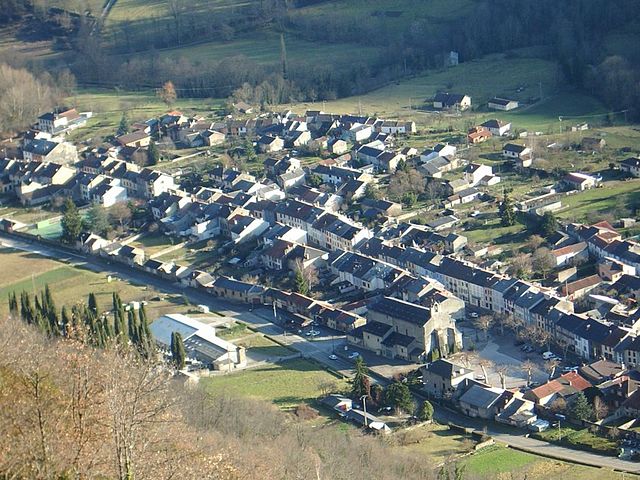
Bédeilhac-et-Aynat (Bédeilhac-et-Aynat)
- commune in Ariège, France
- Country:

- Postal Code: 09400
- Coordinates: 42° 52' 21" N, 1° 33' 52" E


- GPS tracks (wikiloc): [Link]
- Area: 6.38 sq km
- Population: 191
- Wikipedia en: wiki(en)
- Wikipedia: wiki(fr)
- Wikidata storage: Wikidata: Q1082913
- Wikipedia Commons Category: [Link]
- Freebase ID: [/m/03m8lj5]
- GeoNames ID: Alt: [6446868]
- SIREN number: [210900452]
- OSM relation ID: [2124530]
- PACTOLS thesaurus ID: [pcrtjf7QWofWBD]
- INSEE municipality code: 09045
Shares border with regions:
Arignac
- commune in Ariège, France
- Country:
- Postal Code: 09400
- Coordinates: 42° 52' 15" N, 1° 36' 2" E
- GPS tracks (wikiloc): [Link]
- Area: 8.84 sq km
- Population: 717
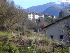
Saurat
- commune in Ariège, France
- Country:
- Postal Code: 09400
- Coordinates: 42° 52' 40" N, 1° 32' 15" E
- GPS tracks (wikiloc): [Link]
- Area: 44.29 sq km
- Population: 645

Montoulieu
- commune in Ariège, France
- Country:
- Postal Code: 09000
- Coordinates: 42° 54' 29" N, 1° 37' 42" E
- GPS tracks (wikiloc): [Link]
- Area: 14.12 sq km
- Population: 393

Rabat-les-Trois-Seigneurs
- commune in Ariège, France
- Country:
- Postal Code: 09400
- Coordinates: 42° 51' 21" N, 1° 33' 10" E
- GPS tracks (wikiloc): [Link]
- Area: 26.96 sq km
- Population: 352
- Web site: [Link]
Surba
- commune in Ariège, France
- Country:
- Postal Code: 09400
- Coordinates: 42° 51' 32" N, 1° 34' 30" E
- GPS tracks (wikiloc): [Link]
- Area: 2.22 sq km
- Population: 343