Baracé (Baracé)

- commune in Maine-et-Loire, France
- Country:

- Postal Code: 49430
- Coordinates: 47° 38' 24" N, 0° 21' 31" E


- GPS tracks (wikiloc): [Link]
- Area: 13.46 sq km
- Population: 565
- Wikipedia en: wiki(en)
- Wikipedia: wiki(fr)
- Wikidata storage: Wikidata: Q1104064
- Wikipedia Commons Category: [Link]
- Freebase ID: [/m/03qcnx3]
- GeoNames ID: Alt: [6449390]
- SIREN number: [214900177]
- BnF ID: [15261619r]
- PACTOLS thesaurus ID: [pcrthDtlVWhW3T]
- INSEE municipality code: 49017
Shares border with regions:


Daumeray
- former commune in Maine-et-Loire, France
- Country:
- Postal Code: 49640
- Coordinates: 47° 42' 7" N, 0° 21' 38" E
- GPS tracks (wikiloc): [Link]
- Area: 40.53 sq km
- Population: 1540


Huillé
- commune in Maine-et-Loire, France
- Country:
- Postal Code: 49430
- Coordinates: 47° 38' 53" N, 0° 18' 19" E
- GPS tracks (wikiloc): [Link]
- Area: 12.53 sq km
- Population: 549
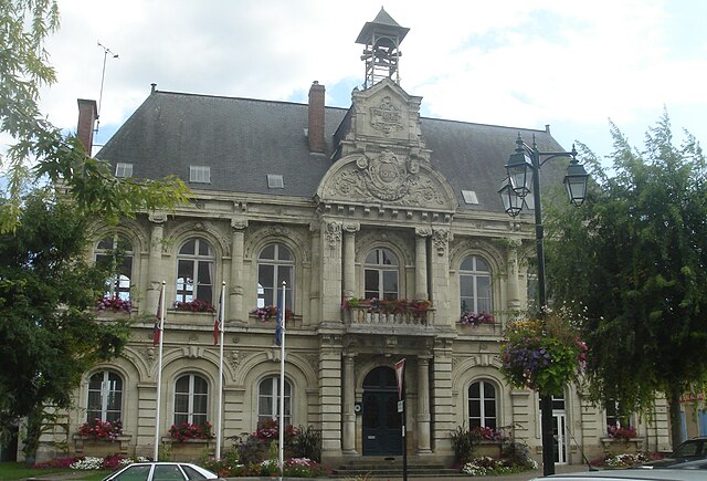
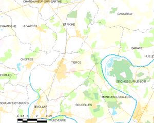
Tiercé
- commune in Maine-et-Loire, France
- Country:
- Postal Code: 49125
- Coordinates: 47° 36' 54" N, 0° 28' 3" E
- GPS tracks (wikiloc): [Link]
- Area: 33.7 sq km
- Population: 4323
- Web site: [Link]


Seiches-sur-le-Loir
- commune in Maine-et-Loire, France
- Country:
- Postal Code: 49140
- Coordinates: 47° 34' 25" N, 0° 21' 23" E
- GPS tracks (wikiloc): [Link]
- Area: 28.83 sq km
- Population: 2982
- Web site: [Link]