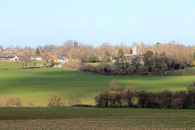
Barbeville (Barbeville)

- commune in Calvados, France
- Country:

- Postal Code: 14400
- Coordinates: 49° 16' 29" N, 0° 44' 57" E


- GPS tracks (wikiloc): [Link]
- Area: 3.47 sq km
- Population: 173
- Wikipedia en: wiki(en)
- Wikipedia: wiki(fr)
- Wikidata storage: Wikidata: Q740530
- Wikipedia Commons Category: [Link]
- Freebase ID: [/m/02j37s]
- Freebase ID: [/m/02j37s]
- GeoNames ID: Alt: [6447196]
- GeoNames ID: Alt: [6447196]
- SIREN number: [211400403]
- SIREN number: [211400403]
- BnF ID: [15247456f]
- BnF ID: [15247456f]
- INSEE municipality code: 14040
- INSEE municipality code: 14040
Shares border with regions:


Vaucelles
- commune in Calvados, France
- Country:
- Postal Code: 14400
- Coordinates: 49° 17' 8" N, 0° 44' 9" E
- GPS tracks (wikiloc): [Link]
- Area: 3.56 sq km
- Population: 379


Cussy
- commune in Calvados, France
- Country:
- Postal Code: 14400
- Coordinates: 49° 17' 2" N, 0° 45' 45" E
- GPS tracks (wikiloc): [Link]
- Area: 2.34 sq km
- Population: 177


Cottun
- commune in Calvados, France
- Country:
- Postal Code: 14400
- Coordinates: 49° 16' 19" N, 0° 47' 36" E
- GPS tracks (wikiloc): [Link]
- Area: 3.77 sq km
- Population: 209


Saint-Loup-Hors
- commune in Calvados, France
- Country:
- Postal Code: 14400
- Coordinates: 49° 15' 30" N, 0° 43' 14" E
- GPS tracks (wikiloc): [Link]
- Area: 5.29 sq km
- Population: 450
- Web site: [Link]

Ranchy
- commune in Calvados, France
- Country:
- Postal Code: 14400
- Coordinates: 49° 15' 14" N, 0° 45' 24" E
- GPS tracks (wikiloc): [Link]
- Area: 5.14 sq km
- Population: 235