Battexey (Battexey)

- commune in Vosges, France
- Country:

- Postal Code: 88130
- Coordinates: 48° 23' 23" N, 6° 10' 50" E


- GPS tracks (wikiloc): [Link]
- Area: 2.72 sq km
- Population: 33
- Wikipedia en: wiki(en)
- Wikipedia: wiki(fr)
- Wikidata storage: Wikidata: Q200536
- Wikipedia Commons Category: [Link]
- Freebase ID: [/m/03qgv4b]
- Freebase ID: [/m/03qgv4b]
- GeoNames ID: Alt: [6451770]
- GeoNames ID: Alt: [6451770]
- SIREN number: [218800381]
- SIREN number: [218800381]
- BnF ID: [15278967b]
- BnF ID: [15278967b]
- INSEE municipality code: 88038
- INSEE municipality code: 88038
Shares border with regions:


Hergugney
- commune in Vosges, France
- Country:
- Postal Code: 88130
- Coordinates: 48° 23' 13" N, 6° 12' 3" E
- GPS tracks (wikiloc): [Link]
- Area: 5.46 sq km
- Population: 140


Bralleville
- commune in Meurthe-et-Moselle, France
- Country:
- Postal Code: 54740
- Coordinates: 48° 24' 17" N, 6° 11' 28" E
- GPS tracks (wikiloc): [Link]
- Area: 4.39 sq km
- Population: 177


Marainville-sur-Madon
- commune in Vosges, France
- Country:
- Postal Code: 88130
- Coordinates: 48° 23' 53" N, 6° 10' 9" E
- GPS tracks (wikiloc): [Link]
- Area: 4.88 sq km
- Population: 95
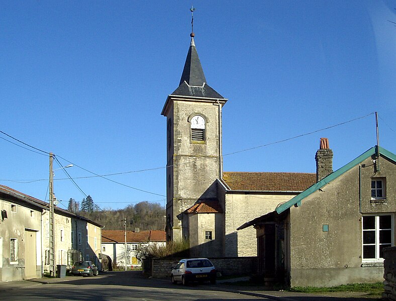
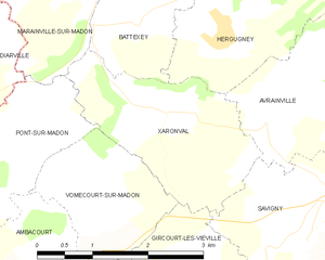
Xaronval
- commune in Vosges, France
- Country:
- Postal Code: 88130
- Coordinates: 48° 22' 31" N, 6° 11' 16" E
- GPS tracks (wikiloc): [Link]
- Area: 5.25 sq km
- Population: 104