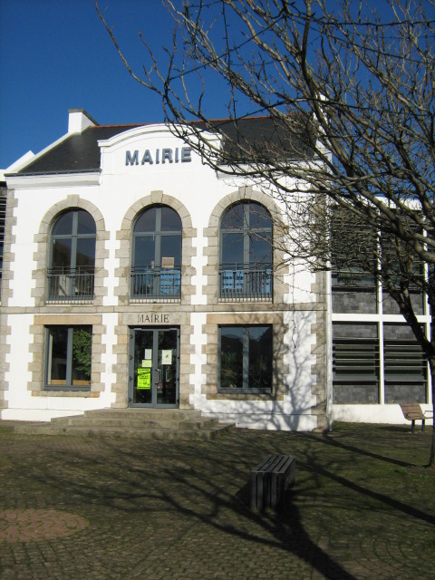
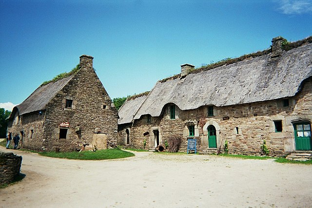
Baud (Baud)

- commune in Morbihan, France
- Country:

- Postal Code: 56150
- Coordinates: 47° 52' 32" N, 3° 1' 8" E


- GPS tracks (wikiloc): [Link]
- Area: 48.09 sq km
- Population: 6230
- Web site: http://www.mairie-baud.fr
- Wikipedia en: wiki(en)
- Wikipedia: wiki(fr)
- Wikidata storage: Wikidata: Q128405
- Wikipedia Commons Category: [Link]
- Freebase ID: [/m/08npr0]
- GeoNames ID: Alt: [6449821]
- SIREN number: [215600107]
- BnF ID: [152652602]
- VIAF ID: Alt: [246355820]
- WOEID: [578413]
- INSEE municipality code: 56010
Shares border with regions:


Saint-Barthélemy
- commune in Morbihan, France
- Country:
- Postal Code: 56150
- Coordinates: 47° 55' 33" N, 3° 2' 43" E
- GPS tracks (wikiloc): [Link]
- Area: 21.9 sq km
- Population: 1191


La Chapelle-Neuve
- commune in Morbihan, France
- Country:
- Postal Code: 56500
- Coordinates: 47° 51' 53" N, 2° 56' 35" E
- GPS tracks (wikiloc): [Link]
- Area: 21.87 sq km
- Population: 965

Pluvigner
- commune in Morbihan, France
- Country:
- Postal Code: 56330
- Coordinates: 47° 46' 33" N, 3° 0' 37" E
- GPS tracks (wikiloc): [Link]
- Area: 82.83 sq km
- Population: 7437
- Web site: [Link]

Quistinic
- commune in Morbihan, France
- Country:
- Postal Code: 56310
- Coordinates: 47° 54' 18" N, 3° 8' 3" E
- GPS tracks (wikiloc): [Link]
- Area: 42.95 sq km
- Population: 1436
- Web site: [Link]


Guénin
- commune in Morbihan, France
- Country:
- Postal Code: 56150
- Coordinates: 47° 54' 27" N, 2° 58' 46" E
- GPS tracks (wikiloc): [Link]
- Area: 28.71 sq km
- Population: 1718

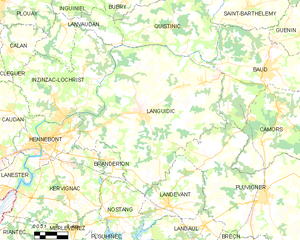
Languidic
- commune in Morbihan, France
- Country:
- Postal Code: 56440
- Coordinates: 47° 50' 0" N, 3° 9' 28" E
- GPS tracks (wikiloc): [Link]
- Area: 109.08 sq km
- Population: 7772
- Web site: [Link]


Camors
- commune in Morbihan, France
- Country:
- Postal Code: 56330
- Coordinates: 47° 50' 52" N, 3° 0' 3" E
- GPS tracks (wikiloc): [Link]
- Area: 37.09 sq km
- Population: 2994
- Web site: [Link]