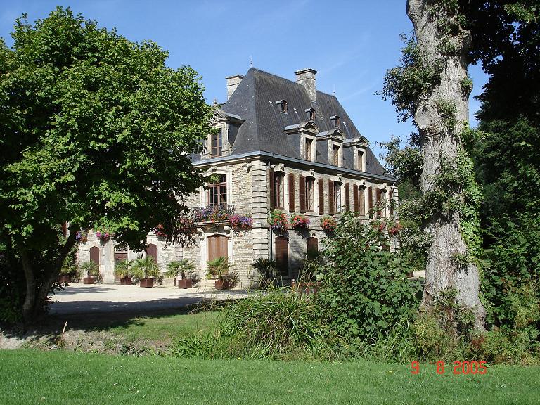
arrondissement of Pontivy (arrondissement de Pontivy)

- arrondissement of France
- Country:

- Capital: Pontivy
- Coordinates: 48° 0' 0" N, 3° 0' 0" E


- GPS tracks (wikiloc): [Link]
- Area: 2399 sq km
- Population: 155258
- Wikipedia en: wiki(en)
- Wikipedia: wiki(fr)
- Wikidata storage: Wikidata: Q374101
- Freebase ID: [/m/095frk]
- GeoNames ID: Alt: [2986159]
- INSEE arrondissement code: [562]
- GNS Unique Feature ID: -1459285
Includes regions:


canton of Pontivy
- canton of France
- Country:
- Capital: Pontivy
- Coordinates: 48° 4' 28" N, 2° 54' 32" E
- GPS tracks (wikiloc): [Link]
- Population: 41869


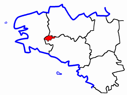
canton of Gourin
- canton of France
- Country:
- Capital: Gourin
- Coordinates: 48° 7' 20" N, 3° 33' 8" E
- GPS tracks (wikiloc): [Link]
- Population: 33977


canton of Saint-Jean-Brévelay
- canton of France (until March 2015)
- Country:
- Capital: Saint-Jean-Brévelay
- Coordinates: 47° 52' 54" N, 2° 41' 9" E
- GPS tracks (wikiloc): [Link]


canton of Guémené-sur-Scorff
- canton of France (until March 2015)
- Country:
- Capital: Guémené-sur-Scorff
- Coordinates: 48° 3' 48" N, 3° 16' 27" E
- GPS tracks (wikiloc): [Link]