Bazoges-en-Paillers (Bazoges-en-Paillers)

- commune in Vendée, France
- Country:

- Postal Code: 85130
- Coordinates: 46° 54' 26" N, 1° 8' 3" E


- GPS tracks (wikiloc): [Link]
- Area: 11.45 sq km
- Population: 1361
- Web site: http://www.bazoges-en-paillers.fr/
- Wikipedia en: wiki(en)
- Wikipedia: wiki(fr)
- Wikidata storage: Wikidata: Q1108817
- Wikipedia Commons Category: [Link]
- Freebase ID: [/m/03qhk6c]
- GeoNames ID: Alt: [6451590]
- SIREN number: [218500130]
- BnF ID: [152781434]
- INSEE municipality code: 85013
Shares border with regions:


La Boissière-de-Montaigu
- commune in Vendée, France
- Country:
- Postal Code: 85600
- Coordinates: 46° 57' 3" N, 1° 11' 29" E
- GPS tracks (wikiloc): [Link]
- Area: 29.1 sq km
- Population: 2270
- Web site: [Link]
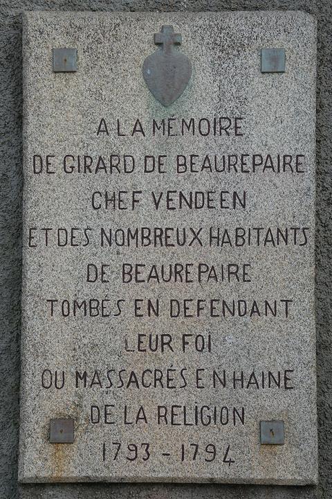

Beaurepaire
- commune in Vendée, France
- Country:
- Postal Code: 85500
- Coordinates: 46° 54' 38" N, 1° 5' 20" E
- GPS tracks (wikiloc): [Link]
- Area: 24.19 sq km
- Population: 2336
- Web site: [Link]


Saint-Fulgent
- commune in Vendée, France
- Country:
- Postal Code: 85250
- Coordinates: 46° 51' 8" N, 1° 10' 41" E
- GPS tracks (wikiloc): [Link]
- Area: 36.82 sq km
- Population: 3787
- Web site: [Link]


Les Landes-Genusson
- commune in Vendée, France
- Country:
- Postal Code: 85130
- Coordinates: 46° 57' 56" N, 1° 7' 6" E
- GPS tracks (wikiloc): [Link]
- Area: 31.33 sq km
- Population: 2302
- Web site: [Link]


La Gaubretière
- commune in Vendée, France
- Country:
- Postal Code: 85130
- Coordinates: 46° 56' 36" N, 1° 3' 53" E
- GPS tracks (wikiloc): [Link]
- Area: 30.33 sq km
- Population: 3032
- Web site: [Link]

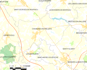
Chavagnes-en-Paillers
- commune in Vendée, France
- Country:
- Postal Code: 85250
- Coordinates: 46° 53' 32" N, 1° 15' 10" E
- GPS tracks (wikiloc): [Link]
- Area: 40.57 sq km
- Population: 3550
- Web site: [Link]