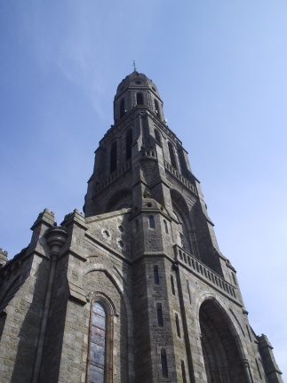
La Gaubretière (La Gaubretière)

- commune in Vendée, France
- Country:

- Postal Code: 85130
- Coordinates: 46° 56' 36" N, 1° 3' 53" E


- GPS tracks (wikiloc): [Link]
- Area: 30.33 sq km
- Population: 3032
- Web site: http://www.lagaubretiere.fr
- Wikipedia en: wiki(en)
- Wikipedia: wiki(fr)
- Wikidata storage: Wikidata: Q428626
- Wikipedia Commons Category: [Link]
- Freebase ID: [/m/03qltlj]
- GeoNames ID: Alt: [3009153]
- SIREN number: [218500973]
- BnF ID: [15278223s]
- VIAF ID: Alt: [239197017]
- MusicBrainz area ID: [c212a47d-8274-4d5f-8a1a-66c186b9d746]
- INSEE municipality code: 85097
Shares border with regions:


Bazoges-en-Paillers
- commune in Vendée, France
- Country:
- Postal Code: 85130
- Coordinates: 46° 54' 26" N, 1° 8' 3" E
- GPS tracks (wikiloc): [Link]
- Area: 11.45 sq km
- Population: 1361
- Web site: [Link]

Chambretaud
- commune in Vendée, France
- Country:
- Postal Code: 85500
- Coordinates: 46° 55' 18" N, 0° 57' 53" E
- GPS tracks (wikiloc): [Link]
- Area: 16.1 sq km
- Population: 1555
- Web site: [Link]
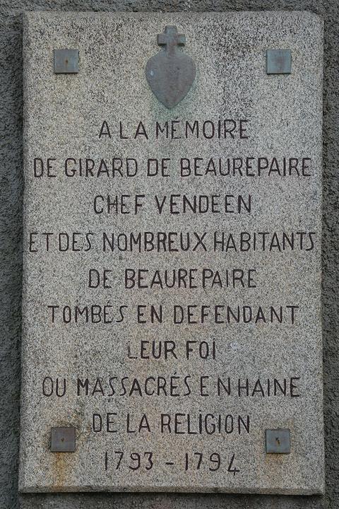

Beaurepaire
- commune in Vendée, France
- Country:
- Postal Code: 85500
- Coordinates: 46° 54' 38" N, 1° 5' 20" E
- GPS tracks (wikiloc): [Link]
- Area: 24.19 sq km
- Population: 2336
- Web site: [Link]


Saint-Martin-des-Tilleuls
- commune in Vendée, France
- Country:
- Postal Code: 85130
- Coordinates: 46° 58' 25" N, 1° 2' 57" E
- GPS tracks (wikiloc): [Link]
- Area: 14.03 sq km
- Population: 1052


Les Landes-Genusson
- commune in Vendée, France
- Country:
- Postal Code: 85130
- Coordinates: 46° 57' 56" N, 1° 7' 6" E
- GPS tracks (wikiloc): [Link]
- Area: 31.33 sq km
- Population: 2302
- Web site: [Link]


Les Herbiers
- commune in Vendée, France
- Country:
- Postal Code: 85500
- Coordinates: 46° 52' 16" N, 1° 0' 49" E
- GPS tracks (wikiloc): [Link]
- Area: 88.78 sq km
- Population: 15992
- Web site: [Link]

La Verrie
- commune in Vendée, France
- Country:
- Postal Code: 85130
- Coordinates: 46° 57' 40" N, 0° 59' 42" E
- GPS tracks (wikiloc): [Link]
- Area: 43.11 sq km
- Population: 3967
- Web site: [Link]