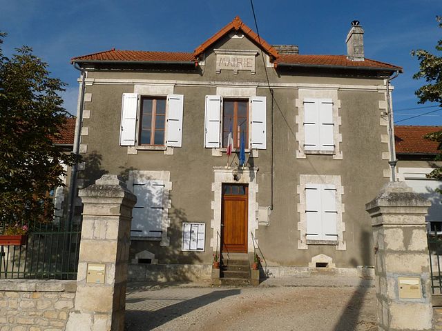
Beaulieu-sur-Sonnette (Beaulieu-sur-Sonnette)

- commune in Charente, France
- Country:

- Postal Code: 16450
- Coordinates: 45° 55' 28" N, 0° 23' 1" E


- GPS tracks (wikiloc): [Link]
- Area: 10.29 sq km
- Population: 236
- Wikipedia en: wiki(en)
- Wikipedia: wiki(fr)
- Wikidata storage: Wikidata: Q1349913
- Wikipedia Commons Category: [Link]
- Freebase ID: [/m/03mc5xb]
- GeoNames ID: Alt: [6447314]
- SIREN number: [211600358]
- BnF ID: [15248474m]
- INSEE municipality code: 16035
Shares border with regions:

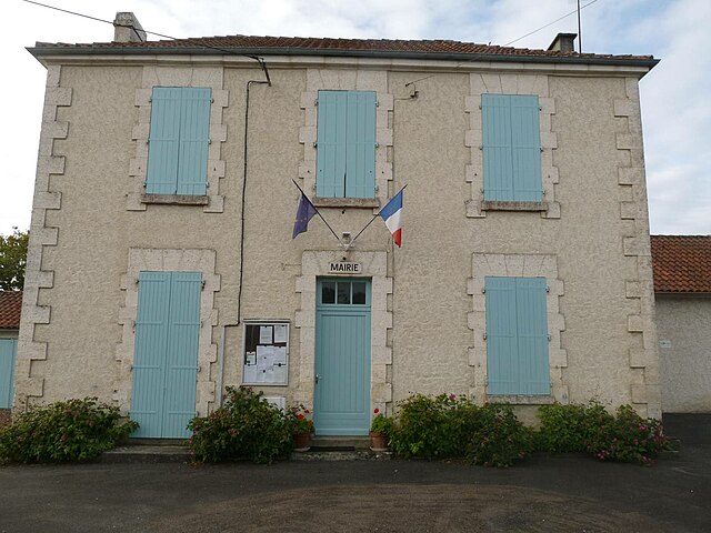
Chassiecq
- commune in Charente, France
- Country:
- Postal Code: 16350
- Coordinates: 45° 57' 14" N, 0° 22' 45" E
- GPS tracks (wikiloc): [Link]
- Area: 13.06 sq km
- Population: 152


Cellefrouin
- commune in Charente, France
- Country:
- Postal Code: 16260
- Coordinates: 45° 53' 28" N, 0° 23' 27" E
- GPS tracks (wikiloc): [Link]
- Area: 40.09 sq km
- Population: 569


Parzac
- commune in Charente, France
- Country:
- Postal Code: 16450
- Coordinates: 45° 55' 59" N, 0° 24' 59" E
- GPS tracks (wikiloc): [Link]
- Area: 11.38 sq km
- Population: 137

Turgon
- commune in Charente, France
- Country:
- Postal Code: 16350
- Coordinates: 45° 56' 59" N, 0° 24' 0" E
- GPS tracks (wikiloc): [Link]
- Area: 7.26 sq km
- Population: 86


Ventouse
- commune in Charente, France
- Country:
- Postal Code: 16460
- Coordinates: 45° 54' 12" N, 0° 19' 32" E
- GPS tracks (wikiloc): [Link]
- Area: 10.15 sq km
- Population: 131