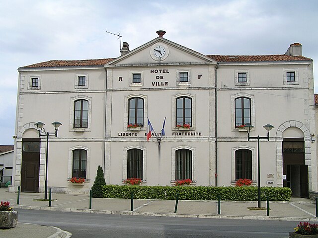
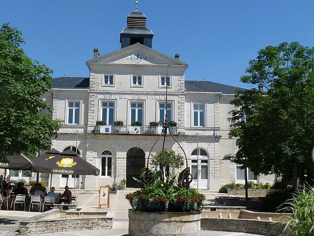
arrondissement of Confolens (arrondissement de Confolens)
- arrondissement of France
- Country:

- Capital: Confolens
- Coordinates: 45° 55' 0" N, 0° 35' 0" E


- GPS tracks (wikiloc): [Link]
- Population: 72117
- Wikipedia en: wiki(en)
- Wikipedia: wiki(fr)
- Wikidata storage: Wikidata: Q701047
- Freebase ID: [/m/095fvp]
- GeoNames ID: Alt: [3023918]
- INSEE arrondissement code: [163]
- GNS Unique Feature ID: -1421428
Includes regions:

canton of Chabanais
- canton of France (until March 2015)
- Country:

- Capital: Chabanais
- Coordinates: 45° 52' 30" N, 0° 43' 14" E


- GPS tracks (wikiloc): [Link]
- Area: 235 sq km
- Population: 7930
canton of Champagne-Mouton
- canton of France
- Country:

- Capital: Champagne-Mouton
- Coordinates: 45° 59' 31" N, 0° 24' 42" E


- GPS tracks (wikiloc): [Link]

canton of Saint-Claud
- canton of France
- Country:

- Capital: Saint-Claud
- Coordinates: 45° 53' 46" N, 0° 27' 56" E


- GPS tracks (wikiloc): [Link]
- Area: 278 sq km
- Population: 10997

canton of Villefagnan
- canton of France
- Country:

- Capital: Villefagnan
- Coordinates: 46° 0' 51" N, 0° 4' 50" E


- GPS tracks (wikiloc): [Link]

canton of Montembœuf
- canton of France (until March 2015)
- Country:

- Capital: Montembœuf
- Coordinates: 45° 46' 44" N, 0° 33' 12" E


- GPS tracks (wikiloc): [Link]


