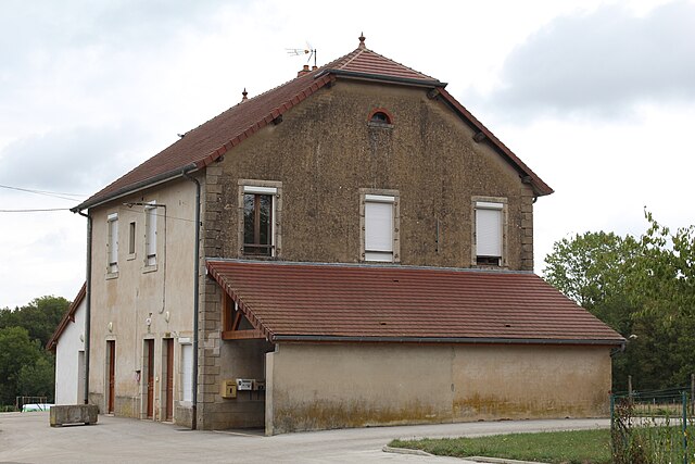
Beauvernois (Beauvernois)
- commune in Saône-et-Loire, France
- Country:

- Postal Code: 71270
- Coordinates: 46° 50' 4" N, 5° 26' 39" E


- GPS tracks (wikiloc): [Link]
- Area: 8.94 sq km
- Population: 129
- Wikipedia en: wiki(en)
- Wikipedia: wiki(fr)
- Wikidata storage: Wikidata: Q539190
- Wikipedia Commons Category: [Link]
- Wikipedia Commons Maps Category: [Link]
- Freebase ID: [/m/03qfxwc]
- Freebase ID: [/m/03qfxwc]
- GeoNames ID: Alt: [6450857]
- GeoNames ID: Alt: [6450857]
- SIREN number: [217100288]
- SIREN number: [217100288]
- BnF ID: [152730022]
- BnF ID: [152730022]
- INSEE municipality code: 71028
- INSEE municipality code: 71028
Shares border with regions:


Chaumergy
- commune in Jura, France
Chaumergy, a small village in the Jura region of France, offers a unique hiking experience surrounded by natural beauty, rolling hills, and rich biodiversity. Although it’s lesser-known compared to some more popular hiking destinations, it attracts outdoor enthusiasts looking for tranquility and stunning landscapes....
- Country:

- Postal Code: 39230
- Coordinates: 46° 50' 46" N, 5° 28' 40" E


- GPS tracks (wikiloc): [Link]
- Area: 6.14 sq km
- Population: 481


La Chassagne
- commune in Jura, France
- Country:

- Postal Code: 39230
- Coordinates: 46° 51' 49" N, 5° 27' 7" E


- GPS tracks (wikiloc): [Link]
- Area: 5.67 sq km
- Population: 123


Chapelle-Voland
- commune in Jura, France
- Country:

- Postal Code: 39140
- Coordinates: 46° 48' 11" N, 5° 22' 41" E


- GPS tracks (wikiloc): [Link]
- Area: 30.5 sq km
- Population: 615


Rye
- commune in Jura, France
- Country:

- Postal Code: 39230
- Coordinates: 46° 52' 15" N, 5° 25' 45" E


- GPS tracks (wikiloc): [Link]
- Area: 11.84 sq km
- Population: 217


Mouthier-en-Bresse
- commune in Saône-et-Loire, France
- Country:

- Postal Code: 71270
- Coordinates: 46° 51' 32" N, 5° 23' 18" E


- GPS tracks (wikiloc): [Link]
- Area: 30.32 sq km
- Population: 431


Chêne-Sec
- commune in Jura, France
- Country:

- Postal Code: 39230
- Coordinates: 46° 51' 2" N, 5° 26' 28" E


- GPS tracks (wikiloc): [Link]
- Area: 0.76 sq km
- Population: 34


Commenailles
- commune in Jura, France
Commenailles, a small commune in the Jura department of France, is a picturesque location for hiking enthusiasts. The surrounding Jura Mountains offer a variety of trails that cater to different skill levels, from easy scenic walks to more challenging hikes....
- Country:

- Postal Code: 39140
- Coordinates: 46° 48' 11" N, 5° 27' 7" E


- GPS tracks (wikiloc): [Link]
- Area: 21.52 sq km
- Population: 848
- Web site: [Link]

