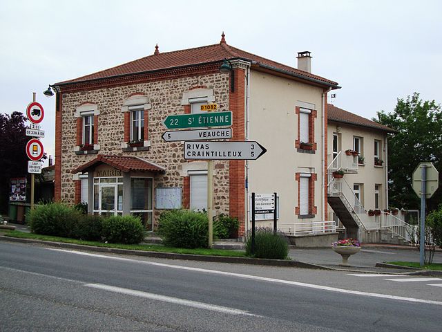
Bellegarde-en-Forez (Bellegarde-en-Forez)

- commune in Loire, France
- Country:

- Postal Code: 42210
- Coordinates: 45° 38' 50" N, 4° 17' 54" E


- GPS tracks (wikiloc): [Link]
- Area: 18.91 sq km
- Population: 1979
- Web site: http://www.mairie-bellegarde-en-forez.fr/
- Wikipedia en: wiki(en)
- Wikipedia: wiki(fr)
- Wikidata storage: Wikidata: Q1339617
- Wikipedia Commons Category: [Link]
- Freebase ID: [/m/03nw3d_]
- Freebase ID: [/m/03nw3d_]
- GeoNames ID: Alt: [6448955]
- GeoNames ID: Alt: [6448955]
- SIREN number: [214200131]
- SIREN number: [214200131]
- BnF ID: [15259584n]
- BnF ID: [15259584n]
- INSEE municipality code: 42013
- INSEE municipality code: 42013
Shares border with regions:

Chazelles-sur-Lyon
- commune in Loire, France
- Country:
- Postal Code: 42140
- Coordinates: 45° 38' 19" N, 4° 23' 31" E
- GPS tracks (wikiloc): [Link]
- Area: 20.91 sq km
- Population: 5219
- Web site: [Link]


Saint-Cyr-les-Vignes
- commune in Loire, France
- Country:
- Postal Code: 42210
- Coordinates: 45° 40' 38" N, 4° 18' 1" E
- GPS tracks (wikiloc): [Link]
- Area: 19.38 sq km
- Population: 987
- Web site: [Link]
Maringes
- commune in Loire, France
- Country:
- Postal Code: 42140
- Coordinates: 45° 39' 42" N, 4° 21' 5" E
- GPS tracks (wikiloc): [Link]
- Area: 9.17 sq km
- Population: 671

Cuzieu
- commune in Loire, France
- Country:
- Postal Code: 42330
- Coordinates: 45° 36' 33" N, 4° 15' 41" E
- GPS tracks (wikiloc): [Link]
- Area: 11.51 sq km
- Population: 1494
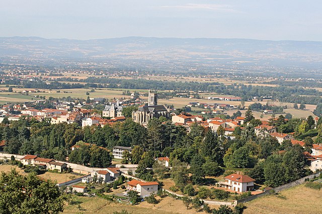

Saint-Galmier
- commune in Loire, France
- Country:
- Postal Code: 42330
- Coordinates: 45° 35' 24" N, 4° 19' 2" E
- GPS tracks (wikiloc): [Link]
- Area: 19.47 sq km
- Population: 5688
- Web site: [Link]


Saint-André-le-Puy
- commune in Loire, France
- Country:
- Postal Code: 42210
- Coordinates: 45° 38' 44" N, 4° 15' 36" E
- GPS tracks (wikiloc): [Link]
- Area: 8.66 sq km
- Population: 1524
- Web site: [Link]