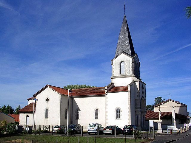
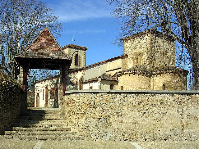
Benquet (Benquet)

- commune in Landes, France
- Country:

- Postal Code: 40280
- Coordinates: 43° 49' 48" N, 0° 30' 6" E


- GPS tracks (wikiloc): [Link]
- Area: 29.33 sq km
- Population: 1640
- Web site: http://www.communedebenquet.com
- Wikipedia en: wiki(en)
- Wikipedia: wiki(fr)
- Wikidata storage: Wikidata: Q223902
- Wikipedia Commons Category: [Link]
- Freebase ID: [/m/08gb8m]
- GeoNames ID: Alt: [3033453]
- SIREN number: [214000374]
- BnF ID: [152589804]
- INSEE municipality code: 40037
Shares border with regions:
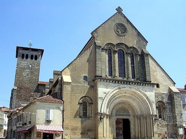

Saint-Sever
- commune in Landes, France
- Country:
- Postal Code: 40500
- Coordinates: 43° 45' 24" N, 0° 34' 27" E
- GPS tracks (wikiloc): [Link]
- AboveSeaLevel: 72.0 м m
- Area: 46.96 sq km
- Population: 4884
- Web site: [Link]

Saint-Maurice-sur-Adour
- commune in Landes, France
- Country:
- Postal Code: 40270
- Coordinates: 43° 47' 6" N, 0° 28' 3" E
- GPS tracks (wikiloc): [Link]
- Area: 9.53 sq km
- Population: 578

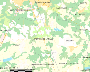
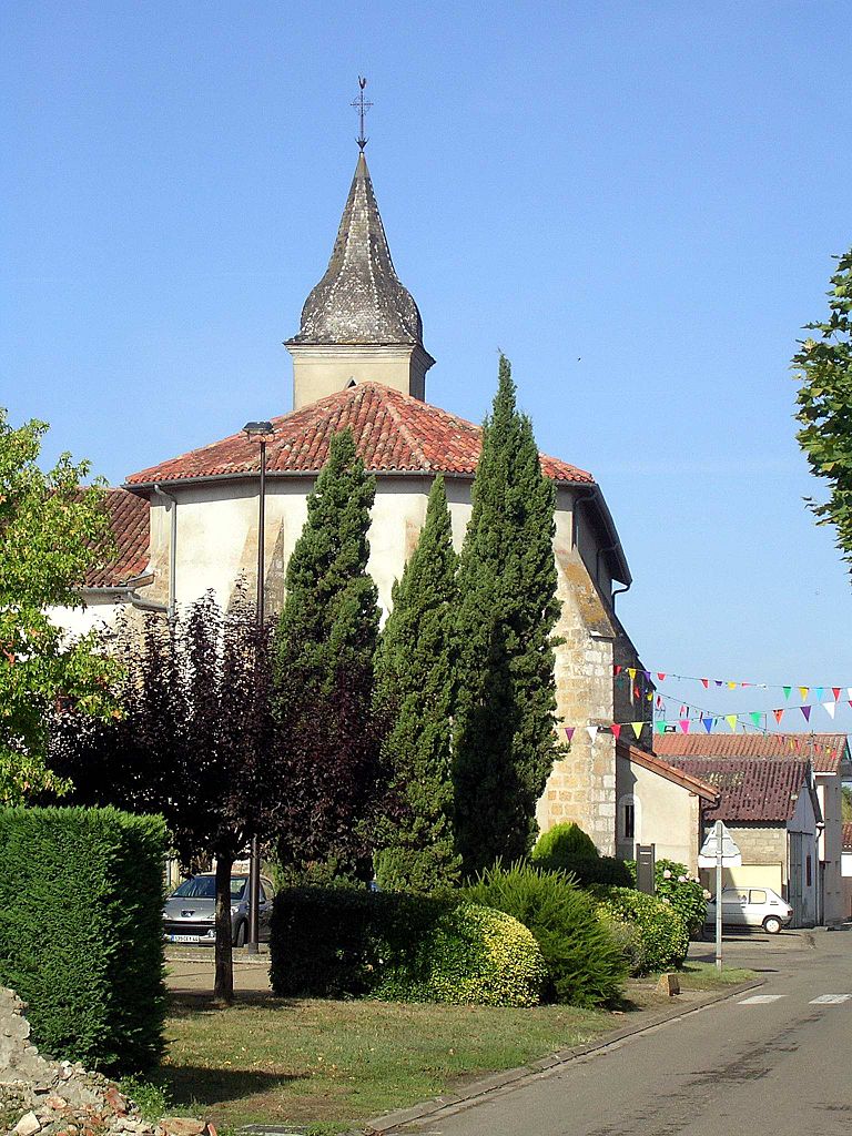
Bretagne-de-Marsan
- commune in Landes, France
- Country:
- Postal Code: 40280
- Coordinates: 43° 50' 51" N, 0° 27' 53" E
- GPS tracks (wikiloc): [Link]
- Area: 12.93 sq km
- Population: 1545
- Web site: [Link]

Haut-Mauco
- commune in Landes, France
- Country:
- Postal Code: 40280
- Coordinates: 43° 49' 33" N, 0° 33' 19" E
- GPS tracks (wikiloc): [Link]
- Area: 18.64 sq km
- Population: 937


Bas-Mauco
- commune in Landes, France
- Country:
- Postal Code: 40500
- Coordinates: 43° 47' 47" N, 0° 33' 19" E
- GPS tracks (wikiloc): [Link]
- AboveSeaLevel: 60 м m
- Area: 11.5 sq km
- Population: 364

Saint-Pierre-du-Mont
- commune in Landes, France
- Country:
- Postal Code: 40280
- Coordinates: 43° 52' 57" N, 0° 31' 10" E
- GPS tracks (wikiloc): [Link]
- Area: 26.25 sq km
- Population: 9512