Berry-Bouy (Berry-Bouy)

- commune in Cher, France
- Country:

- Postal Code: 18500
- Coordinates: 47° 6' 35" N, 2° 17' 22" E


- GPS tracks (wikiloc): [Link]
- Area: 30.87 sq km
- Population: 1186
- Wikipedia en: wiki(en)
- Wikipedia: wiki(fr)
- Wikidata storage: Wikidata: Q1142432
- Wikipedia Commons Category: [Link]
- Freebase ID: [/m/03mfc68]
- GeoNames ID: Alt: [6447434]
- SIREN number: [211800289]
- BnF ID: [15249374k]
- PACTOLS thesaurus ID: [pcrtjtm3070gJ2]
- INSEE municipality code: 18028
Shares border with regions:

Saint-Doulchard
- commune in Cher, France
- Country:
- Postal Code: 18230
- Coordinates: 47° 5' 59" N, 2° 22' 22" E
- GPS tracks (wikiloc): [Link]
- Area: 24.01 sq km
- Population: 9431
- Web site: [Link]
Saint-Éloy-de-Gy
- commune in Cher, France
- Country:
- Postal Code: 18110
- Coordinates: 47° 9' 22" N, 2° 20' 33" E
- GPS tracks (wikiloc): [Link]
- Area: 31.2 sq km
- Population: 1547


Marmagne
- commune in Cher, France
- Country:
- Postal Code: 18500
- Coordinates: 47° 6' 5" N, 2° 17' 1" E
- GPS tracks (wikiloc): [Link]
- Area: 37.66 sq km
- Population: 2005


Allouis
- commune in Cher, France
- Country:
- Postal Code: 18500
- Coordinates: 47° 9' 57" N, 2° 13' 37" E
- GPS tracks (wikiloc): [Link]
- Area: 35.59 sq km
- Population: 1050

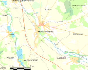
Mehun-sur-Yèvre
- commune in Cher, France
- Country:
- Postal Code: 18500
- Coordinates: 47° 8' 43" N, 2° 12' 57" E
- GPS tracks (wikiloc): [Link]
- Area: 24.45 sq km
- Population: 6644
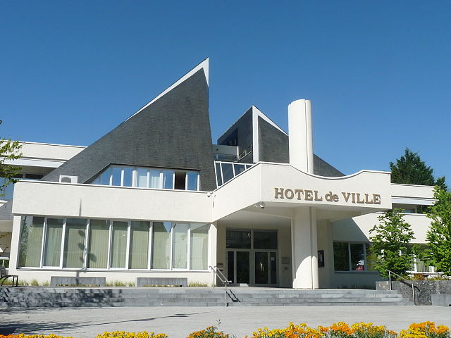
- Web site: [Link]