
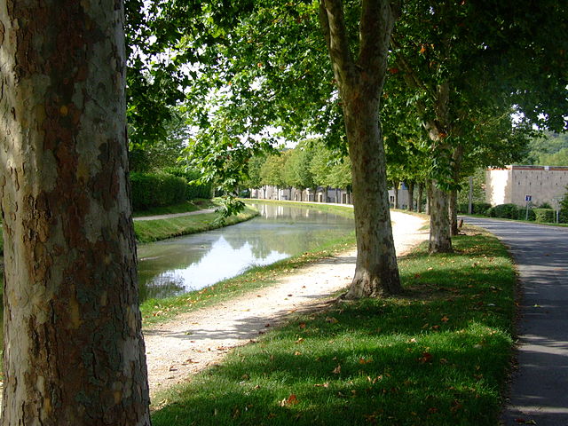
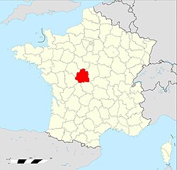
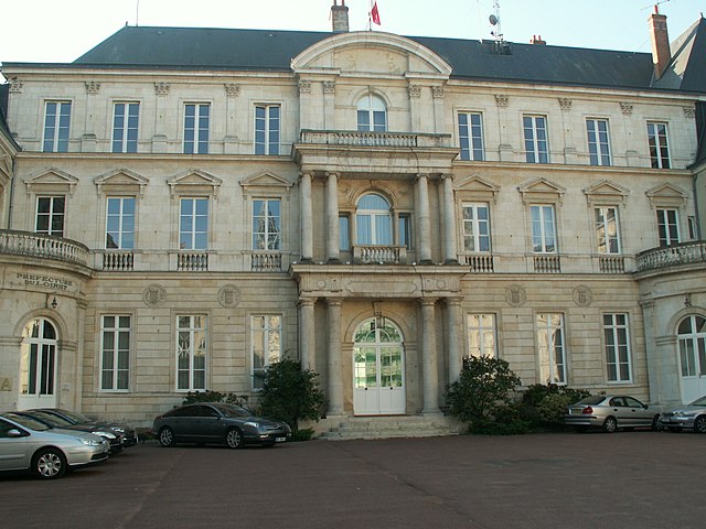
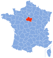
Cher (Cher)


- French department
- Country:

- Capital: Bourges
- Coordinates: 47° 4' 52" N, 2° 26' 40" E


- GPS tracks (wikiloc): [Link]
- Area: 7235 sq km
- Population: 308992
- Web site: http://www.cher.pref.gouv.fr/
- Wikipedia en: wiki(en)
- Wikipedia: wiki(fr)
- Wikidata storage: Wikidata: Q3286
- Wikipedia Commons Gallery: [Link]
- Wikipedia Commons Category: [Link]
- Freebase ID: [/m/0kw03]
- GeoNames ID: Alt: [3025480]
- SIREN number: [221800014]
- BnF ID: [11933428p]
- VIAF ID: Alt: [137228189]
- OSM relation ID: [7456]
- GND ID: Alt: [4085235-0]
- archINFORM location ID: [32]
- Library of Congress authority ID: Alt: [n82073041]
- MusicBrainz area ID: [95db021f-38e5-4e25-9c0c-9af0d9a178ec]
- Encyclopædia Britannica Online ID: [place/Cher-department-France]
- Gran Enciclopèdia Catalana ID: [0017500]
- Twitter username: Alt: [cg_18]
- National Library of Israel ID: [000993023]
- NUTS code: [FR241]
- INSEE department code: [18]
- ISO 3166-2 code: FR-18
Includes regions:

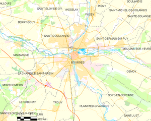
Bourges
- commune in Cher, France
- Country:
- Postal Code: 18000
- Coordinates: 47° 5' 1" N, 2° 23' 44" E
- GPS tracks (wikiloc): [Link]
- AboveSeaLevel: 153 м m
- Area: 68.74 sq km
- Population: 66071
- Web site: [Link]

arrondissement of Saint-Amand-Montrond
- arrondissement of France
- Country:
- Capital: Saint-Amand-Montrond
- Coordinates: 46° 45' 0" N, 2° 30' 0" E
- GPS tracks (wikiloc): [Link]
- Area: 2670 sq km
- Population: 64490


arrondissement of Vierzon
- arrondissement of France
- Country:
- Capital: Vierzon
- Coordinates: 47° 12' 36" N, 2° 3' 45" E
- GPS tracks (wikiloc): [Link]
- Area: 1767 sq km
- Population: 70925

arrondissement of Bourges
- arrondissement of France
- Country:
- Capital: Bourges
- Coordinates: 47° 15' 0" N, 2° 25' 0" E
- GPS tracks (wikiloc): [Link]
- Area: 2798 sq km
- Population: 173577
Shares border with regions:

Indre
- French department
- Country:
- Capital: Châteauroux
- Coordinates: 46° 46' 0" N, 1° 36' 0" E
- GPS tracks (wikiloc): [Link]
- Area: 6791 sq km
- Population: 224200
- Web site: [Link]


Loir-et-Cher
- French department
- Country:
- Capital: Blois
- Coordinates: 47° 16' 0" N, 0° 40' 0" E
- GPS tracks (wikiloc): [Link]
- Area: 6343 sq km
- Population: 333050
- Web site: [Link]
Loiret
- French department
- Country:
- Capital: Orléans
- Coordinates: 47° 55' 0" N, 2° 10' 0" E
- GPS tracks (wikiloc): [Link]
- Area: 6775 sq km
- Population: 673349
- Web site: [Link]

Nièvre
- French department
- Country:
- Capital: Nevers
- Coordinates: 47° 5' 0" N, 3° 30' 0" E
- GPS tracks (wikiloc): [Link]
- Area: 6817 sq km
- Population: 211747
- Web site: [Link]

Yonne
- French department
- Country:
- Capital: Auxerre
- Coordinates: 47° 48' 0" N, 3° 34' 0" E
- GPS tracks (wikiloc): [Link]
- Area: 7427 sq km
- Population: 340903
- Web site: [Link]


Allier
- French department
- Country:
- Capital: Moulins
- Coordinates: 46° 20' 0" N, 3° 10' 0" E
- GPS tracks (wikiloc): [Link]
- Area: 7340 sq km
- Population: 341613
- Web site: [Link]


Creuse
- French department
- Country:
- Capital: Guéret
- Coordinates: 46° 35' 0" N, 2° 3' 0" E
- GPS tracks (wikiloc): [Link]
- Area: 5565 sq km
- Population: 120365
- Web site: [Link]