
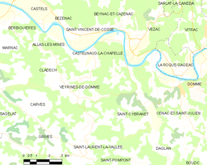
Beynac-et-Cazenac (Beynac-et-Cazenac)

- commune in Dordogne, France
- Country:

- Postal Code: 24220
- Coordinates: 44° 50' 24" N, 1° 8' 38" E


- GPS tracks (wikiloc): [Link]
- Area: 12.74 sq km
- Population: 552
- Web site: http://www.beynac-et-cazenac.fr
- Wikipedia en: wiki(en)
- Wikipedia: wiki(fr)
- Wikidata storage: Wikidata: Q185444
- Wikipedia Commons Category: [Link]
- Freebase ID: [/m/03c75h9]
- Freebase ID: [/m/03c75h9]
- GeoNames ID: Alt: [3032876]
- GeoNames ID: Alt: [3032876]
- SIREN number: [212400402]
- SIREN number: [212400402]
- BnF ID: [152516918]
- BnF ID: [152516918]
- INSEE municipality code: 24040
- INSEE municipality code: 24040
Shares border with regions:

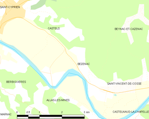
Castels
- former commune in Dordogne, France
- Country:
- Postal Code: 24220
- Coordinates: 44° 51' 58" N, 1° 3' 3" E
- GPS tracks (wikiloc): [Link]
- Area: 19.6 sq km
- Population: 645
Saint-André-d'Allas
- commune in Dordogne, France
- Country:
- Postal Code: 24200
- Coordinates: 44° 53' 9" N, 1° 10' 0" E
- GPS tracks (wikiloc): [Link]
- Area: 28.77 sq km
- Population: 829

Saint-Vincent-de-Cosse
- commune in Dordogne, France
- Country:
- Postal Code: 24220
- Coordinates: 44° 50' 32" N, 1° 7' 7" E
- GPS tracks (wikiloc): [Link]
- Area: 7.19 sq km
- Population: 358

Castelnaud-la-Chapelle
- commune in Dordogne, France
- Country:
- Postal Code: 24250
- Coordinates: 44° 48' 54" N, 1° 8' 55" E
- GPS tracks (wikiloc): [Link]
- AboveSeaLevel: 71 м m
- Area: 20.88 sq km
- Population: 471
- Web site: [Link]

Bézenac
- former commune in Dordogne, France
- Country:
- Postal Code: 24220
- Coordinates: 44° 50' 37" N, 1° 5' 25" E
- GPS tracks (wikiloc): [Link]
- Area: 4.16 sq km
- Population: 154