Binos (Binos)

- commune in Haute-Garonne, France
- Country:

- Postal Code: 31440
- Coordinates: 42° 54' 3" N, 0° 37' 2" E


- GPS tracks (wikiloc): [Link]
- Area: 1.96 sq km
- Population: 43
- Wikipedia en: wiki(en)
- Wikipedia: wiki(fr)
- Wikidata storage: Wikidata: Q1432327
- Wikipedia Commons Category: [Link]
- Freebase ID: [/m/03nsyfd]
- Freebase ID: [/m/03nsyfd]
- GeoNames ID: Alt: [6431888]
- GeoNames ID: Alt: [6431888]
- SIREN number: [213105901]
- SIREN number: [213105901]
- BnF ID: [152555851]
- BnF ID: [152555851]
- INSEE municipality code: 31590
- INSEE municipality code: 31590
Shares border with regions:


Bachos
- commune in Haute-Garonne, France
- Country:
- Postal Code: 31440
- Coordinates: 42° 53' 52" N, 0° 37' 3" E
- GPS tracks (wikiloc): [Link]
- Area: 2.67 sq km
- Population: 37

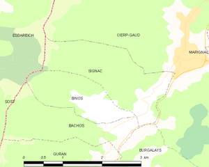
Signac
- commune in Haute-Garonne, France
- Country:
- Postal Code: 31440
- Coordinates: 42° 54' 19" N, 0° 37' 42" E
- GPS tracks (wikiloc): [Link]
- Area: 3.51 sq km
- Population: 45


Sost
- commune in Hautes-Pyrénées, France
- Country:
- Postal Code: 65370
- Coordinates: 42° 55' 45" N, 0° 33' 26" E
- GPS tracks (wikiloc): [Link]
- Area: 32.05 sq km
- Population: 89

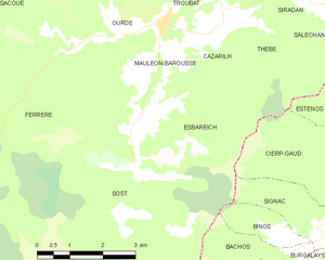
Esbareich
- commune in Hautes-Pyrénées, France
- Country:
- Postal Code: 65370
- Coordinates: 42° 56' 41" N, 0° 33' 43" E
- GPS tracks (wikiloc): [Link]
- Area: 8.68 sq km
- Population: 80