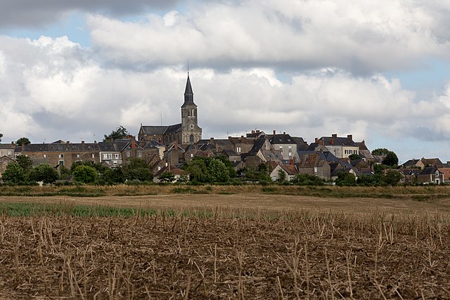
Blandouet (Blandouet)

- former commune in Mayenne, France
- Country:

- Postal Code: 53270
- Coordinates: 48° 3' 4" N, 0° 19' 41" E


- GPS tracks (wikiloc): [Link]
- Area: 11.33 sq km
- Population: 188
- Wikipedia en: wiki(en)
- Wikipedia: wiki(fr)
- Wikidata storage: Wikidata: Q738283
- Wikipedia Commons Category: [Link]
- Freebase ID: [/m/03np_4k]
- GeoNames ID: Alt: [3032362]
- BnF ID: [152638262]
- INSEE municipality code: 53032
Shares border with regions:


Saint-Jean-sur-Erve
- former commune in Mayenne, France
- Country:
- Postal Code: 53270
- Coordinates: 48° 2' 4" N, 0° 23' 30" E
- GPS tracks (wikiloc): [Link]
- Area: 25.39 sq km
- Population: 438
- Web site: [Link]

Saint-Denis-d'Orques
- commune in Sarthe, France
- Country:
- Postal Code: 72350
- Coordinates: 48° 1' 42" N, 0° 16' 23" E
- GPS tracks (wikiloc): [Link]
- Area: 47.17 sq km
- Population: 814
- Web site: [Link]

Torcé-Viviers-en-Charnie
- commune in Mayenne, France
- Country:
- Postal Code: 53270
- Coordinates: 48° 5' 56" N, 0° 15' 42" E
- GPS tracks (wikiloc): [Link]
- Area: 48.77 sq km
- Population: 763

Chammes
- former commune in Mayenne, France
- Country:
- Postal Code: 53270
- Coordinates: 48° 4' 36" N, 0° 22' 40" E
- GPS tracks (wikiloc): [Link]
- Area: 21.06 sq km
- Population: 349