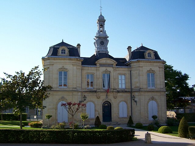
Blasimon (Blasimon)

- commune in Gironde, France
- Country:

- Postal Code: 33540
- Coordinates: 44° 44' 56" N, 0° 4' 26" E


- GPS tracks (wikiloc): [Link]
- Area: 29.76 sq km
- Population: 907
- Web site: http://www.blasimon.fr/
- Wikipedia en: wiki(en)
- Wikipedia: wiki(fr)
- Wikidata storage: Wikidata: Q715850
- Wikipedia Commons Category: [Link]
- Freebase ID: [/m/03nrx6s]
- GeoNames ID: Alt: [3032316]
- SIREN number: [213300577]
- BnF ID: [15256111m]
- VIAF ID: Alt: [245850974]
- archINFORM location ID: [9549]
- INSEE municipality code: 33057
Shares border with regions:


Lugasson
- commune in Gironde, France
- Country:
- Postal Code: 33760
- Coordinates: 44° 45' 4" N, 0° 9' 37" E
- GPS tracks (wikiloc): [Link]
- Area: 6.32 sq km
- Population: 292

Frontenac
- commune in Gironde, France
- Country:
- Postal Code: 33760
- Coordinates: 44° 44' 17" N, 0° 9' 44" E
- GPS tracks (wikiloc): [Link]
- Area: 14.4 sq km
- Population: 757
- Web site: [Link]

Mauriac
- commune in Gironde, France
- Country:
- Postal Code: 33540
- Coordinates: 44° 44' 39" N, 0° 1' 54" E
- GPS tracks (wikiloc): [Link]
- Area: 10.02 sq km
- Population: 257


Cleyrac
- commune in Gironde, France
- Country:
- Postal Code: 33540
- Coordinates: 44° 43' 11" N, 0° 2' 18" E
- GPS tracks (wikiloc): [Link]
- Area: 6.07 sq km
- Population: 160

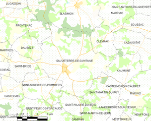
Sauveterre-de-Guyenne
- commune in Gironde, France
- Country:
- Postal Code: 33540
- Coordinates: 44° 41' 34" N, 0° 5' 11" E
- GPS tracks (wikiloc): [Link]
- Area: 31.75 sq km
- Population: 1773
- Web site: [Link]

Jugazan
- commune in Gironde, France
- Country:
- Postal Code: 33420
- Coordinates: 44° 46' 54" N, 0° 9' 17" E
- GPS tracks (wikiloc): [Link]
- Area: 5.53 sq km
- Population: 293


Mérignas
- commune in Gironde, France
- Country:
- Postal Code: 33350
- Coordinates: 44° 47' 4" N, 0° 5' 16" E
- GPS tracks (wikiloc): [Link]
- Area: 9.56 sq km
- Population: 325
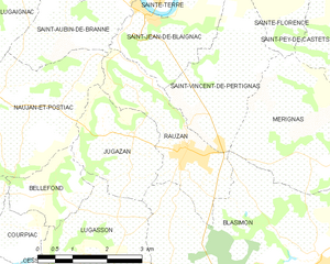
Rauzan
- commune in Gironde, France
- Country:
- Postal Code: 33420
- Coordinates: 44° 46' 43" N, 0° 7' 30" E
- GPS tracks (wikiloc): [Link]
- Area: 6.5 sq km
- Population: 1206

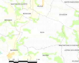
Ruch
- commune in Gironde, France
- Country:
- Postal Code: 33350
- Coordinates: 44° 46' 34" N, 0° 2' 24" E
- GPS tracks (wikiloc): [Link]
- Area: 14.49 sq km
- Population: 599