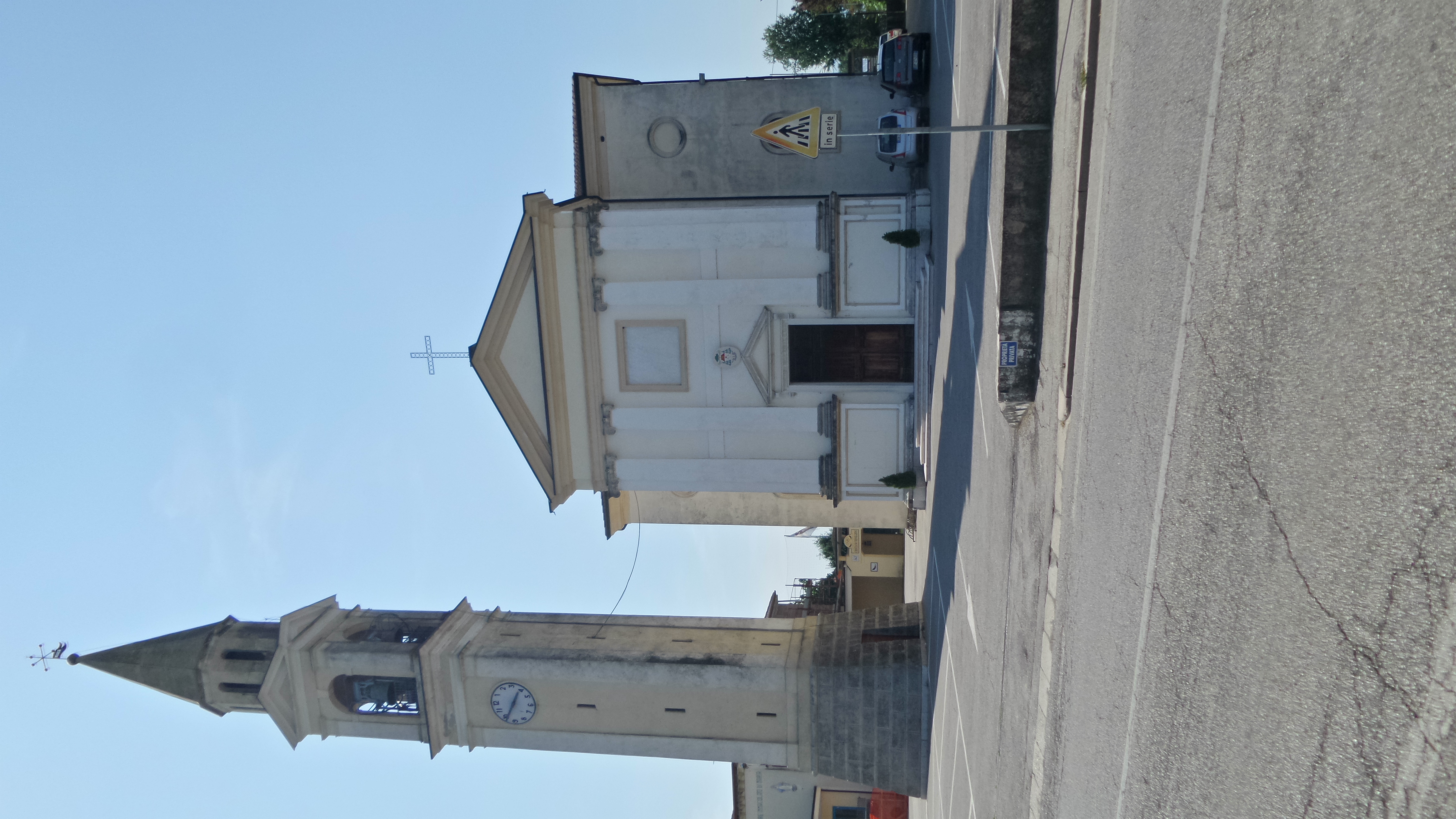
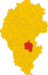
Bolzano Vicentino (Bolzano Vicentino)
- Italian comune
Bolzano Vicentino, located in the Veneto region of Italy, offers a variety of hiking opportunities amidst beautiful landscapes and historical sites. Here are some key points about hiking in this area:
Scenic Trails
-
Natural Trails: The region surrounding Bolzano Vicentino features diverse terrain, including hills, valleys, and forests. Trails often wind through vineyards and olive groves, providing stunning views of the countryside.
-
Local Parks: Nearby parks and nature reserves, such as the Parco Regionale dei Colli Euganei, offer well-marked hiking paths suitable for various skill levels. Many trails lead to scenic viewpoints and picnic areas.
Historical Landmarks
- Cultural Heritage: Hiking in Bolzano Vicentino often includes stops at historical landmarks. You might encounter ancient churches, villages, and old ruins that reflect the rich history of the region.
Suggested Hikes
-
Viale delle Fisarmoniche: A gentle hike that takes you through local vineyards and offers a chance to enjoy the surrounding landscape.
-
Monte Summano: For those looking for a more challenging hike, Monte Summano provides a rewarding experience with panoramic views from the summit. It’s a bit further but worth the trek.
Tips for Hiking in Bolzano Vicentino
- Seasonal Considerations: Spring and fall are the best times for hiking, as temperatures are mild and the landscapes are particularly beautiful.
- Gear: Wear sturdy hiking boots, and consider bringing trekking poles for support on uneven terrain. A good map or a GPS device is also recommended.
- Hydration and Snacks: Bring enough water and snacks. Some trails may not have facilities nearby.
Local Amenities
Bolzano Vicentino has various accommodations, restaurants, and shops where you can stock up on supplies or enjoy local cuisine after your hike.
Guided Tours
If you're new to the area or want a more structured experience, consider joining a guided hiking tour. Local guides can offer insights into both the natural and cultural significance of the region.
Overall, Bolzano Vicentino offers a unique blend of nature and history, making it an appealing destination for hiking enthusiasts. Enjoy your adventures on the trails!
- Country:

- Postal Code: 36050
- Local Dialing Code: 0444
- Licence Plate Code: VI
- Coordinates: 45° 36' 0" N, 11° 37' 0" E


- GPS tracks (wikiloc): [Link]
- AboveSeaLevel: 44 м m
- Area: 19.84 sq km
- Population: 6480
- Web site: http://www.comune.bolzanovicentino.vi.it
- Wikipedia en: wiki(en)
- Wikipedia: wiki(it)
- Wikidata storage: Wikidata: Q46214
- Wikipedia Commons Category: [Link]
- Freebase ID: [/m/0g8msp]
- GeoNames ID: Alt: [6536613]
- VIAF ID: Alt: [236439993]
- OSM relation ID: [45398]
- archINFORM location ID: [9482]
- UN/LOCODE: [ITBZV]
- ISTAT ID: 024013
- Italian cadastre code: A954
Shares border with regions:
San Pietro in Gu
- Italian comune
San Pietro in Gu is a quaint village located in the Veneto region of Italy, nestled among the rolling hills and picturesque countryside. While it may not be a well-known hiking destination, the surrounding area offers various opportunities for outdoor enthusiasts....
- Country:

- Postal Code: 35010
- Local Dialing Code: 049
- Licence Plate Code: PD
- Coordinates: 45° 36' 37" N, 11° 40' 40" E


- GPS tracks (wikiloc): [Link]
- AboveSeaLevel: 44 м m
- Area: 17.9 sq km
- Population: 4435
- Web site: [Link]


Bressanvido
- Italian comune
Bressanvido, located in the province of Vicenza in Northern Italy, is not widely known as a major hiking destination, but it does offer access to beautiful landscapes and trails that can cater to both casual walkers and more serious hikers....
- Country:

- Postal Code: 36050
- Local Dialing Code: 0444
- Licence Plate Code: VI
- Coordinates: 45° 39' 0" N, 11° 38' 0" E


- GPS tracks (wikiloc): [Link]
- AboveSeaLevel: 57 м m
- Area: 8.44 sq km
- Population: 3164
- Web site: [Link]


Quinto Vicentino
- Italian comune
Quinto Vicentino, located near Vicenza in the Veneto region of Italy, offers a variety of hiking opportunities that cater to different skill levels and interests. The surrounding landscapes are characterized by rolling hills, vineyards, and picturesque countryside, making it a charming destination for outdoor enthusiasts....
- Country:

- Postal Code: 36050
- Local Dialing Code: 0444
- Licence Plate Code: VI
- Coordinates: 45° 34' 0" N, 11° 37' 0" E


- GPS tracks (wikiloc): [Link]
- AboveSeaLevel: 37 м m
- Area: 17.4 sq km
- Population: 5815
- Web site: [Link]
Sandrigo
- Italian comune
Sandrigo is a charming town located in the Veneto region of Italy, surrounded by beautiful landscapes that offer plenty of opportunities for hiking enthusiasts. While Sandrigo itself may not be a major hiking destination, it is situated near various natural parks and trails that can provide a rich hiking experience....
- Country:

- Postal Code: 36066
- Local Dialing Code: 0444
- Licence Plate Code: VI
- Coordinates: 45° 40' 0" N, 11° 36' 0" E


- GPS tracks (wikiloc): [Link]
- AboveSeaLevel: 64 м m
- Area: 27.99 sq km
- Population: 8457
- Web site: [Link]


Monticello Conte Otto
- Italian comune
 Hiking in Monticello Conte Otto
Monticello Conte Otto is a picturesque municipality located in the province of Vicenza in the Veneto region of Italy. While not as widely known for hiking as some other destinations, it offers a delightful experience for outdoor enthusiasts. Here are some highlights for hiking in this area:...
- Country:

- Postal Code: 36010
- Local Dialing Code: 0444
- Licence Plate Code: VI
- Coordinates: 45° 36' 0" N, 11° 35' 0" E


- GPS tracks (wikiloc): [Link]
- AboveSeaLevel: 42 м m
- Area: 10 sq km
- Population: 9026
- Web site: [Link]


Vicenza
- Italian comune
Vicenza, located in the Veneto region of northern Italy, is not only known for its rich history and stunning architecture but also offers beautiful hiking opportunities in the surrounding countryside and mountains. Here are some highlights and tips for hiking in and around Vicenza:...
- Country:

- Postal Code: 36100
- Local Dialing Code: 0444
- Licence Plate Code: VI
- Coordinates: 45° 33' 0" N, 11° 33' 0" E


- GPS tracks (wikiloc): [Link]
- AboveSeaLevel: 39 м m
- Area: 80.57 sq km
- Population: 112408
- Web site: [Link]
