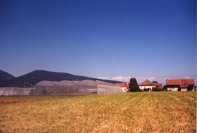
Bonne, Haute-Savoie (Bonne)

- commune in Haute-Savoie, France
 Hiking in Bonne, Haute-Savoie
Hiking in Bonne, Haute-Savoie, offers a fantastic experience for outdoor enthusiasts. Situated in the picturesque region of the French Alps, Bonne is known for its stunning mountainous scenery, with a variety of trails suited for different skill levels, from beginners to advanced hikers.
Key Highlights:
-
Scenic Beauty: Hiking in Bonne allows you to enjoy breathtaking views of the Mont Blanc massif and the surrounding Alpine landscapes, with lush valleys, crystal-clear lakes, and picturesque villages.
-
Trails:
- Les Voirons: A popular area for hiking where you can find various trails with differing difficulties. The paths often lead to panoramic viewpoints.
- Col des Aravis: Offers more challenging trails with rewarding views. It’s also a great spot for experiencing local flora and fauna.
- Nearby Areas: Do not miss nearby hiking destinations like La Clusaz or Chamonix, where you can find iconic trails and access various mountain ranges.
-
Flora and Fauna: The region boasts a rich diversity of plant species, along with opportunities to spot wildlife such as chamois, marmots, and various bird species.
-
Seasonal Conditions: The best time for hiking in Haute-Savoie is generally late spring through early autumn (May to September). However, some high-altitude trails may still be accessible early in the season.
-
Preparation: It is important to check trail conditions and weather forecasts before heading out. Proper hiking gear, including sturdy footwear and weather-appropriate clothing, is essential. Always carry enough water and snacks.
-
Local Culture: Enjoy the local Savoyard culture, including regional cuisine. Post-hike, you can relax in local towns, savoring cheese fondue or tartiflette.
-
Guided Tours: If you're unfamiliar with the area, consider joining a guided hike. Local guides can provide insights into the geology, history, and ecology of the region, enhancing your overall experience.
Whether you’re looking for a leisurely stroll or a rigorous climb, Bonne and the surrounding areas have something to offer to every hiking enthusiast. Always remember to follow Leave No Trace principles to preserve the natural beauty of the region. Happy hiking!
- Country:

- Postal Code: 74380
- Coordinates: 46° 10' 6" N, 6° 19' 14" E


- GPS tracks (wikiloc): [Link]
- Area: 8.58 sq km
- Population: 3245
- Web site: http://www.bonne.fr
- Wikipedia en: wiki(en)
- Wikipedia: wiki(fr)
- Wikidata storage: Wikidata: Q658854
- Wikipedia Commons Category: [Link]
- Freebase ID: [/m/03nty20]
- GeoNames ID: Alt: [6617601]
- SIREN number: [217400407]
- BnF ID: [15274300f]
- MusicBrainz area ID: [ce255383-6b65-4e35-9f06-29fe8798636e]
- INSEE municipality code: 74040
Shares border with regions:


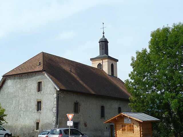
Cranves-Sales
- commune in Haute-Savoie, France
Hiking in Cranves-Sales
Cranves-Sales, located in the Haute-Savoie region of France, is a scenic destination that offers beautiful landscapes and various hiking opportunities. Nestled near the Alps and close to Lake Geneva, the area is characterized by its rolling hills, forests, and stunning views of the surrounding mountains....
- Country:
- Postal Code: 74380
- Coordinates: 46° 11' 12" N, 6° 17' 29" E
- GPS tracks (wikiloc): [Link]
- Area: 13.61 sq km
- Population: 6562
- Web site: [Link]

Arthaz-Pont-Notre-Dame
- commune in Haute-Savoie, France
Hiking in Arthaz-Pont-Notre-Dame
Arthaz-Pont-Notre-Dame is a small commune located in the Haute-Savoie department in the Auvergne-Rhône-Alpes region of southeastern France. While it may not be as widely known as some of the larger tourist destinations in the Alps, it offers some charming hiking opportunities in a picturesque setting....
- Country:
- Postal Code: 74380
- Coordinates: 46° 9' 32" N, 6° 16' 1" E
- GPS tracks (wikiloc): [Link]
- Area: 5.96 sq km
- Population: 1440
- Web site: [Link]


Fillinges
- commune in Haute-Savoie, France
Hiking in Fillinges
Fillinges, located in the Haute-Savoie region of France, is a charming area that offers a variety of hiking opportunities amidst beautiful landscapes. Nestled near the French-Chevalier Mountains and close to Lake Geneva, the region provides stunning views and a mix of terrain suitable for different hiking levels....
- Country:
- Postal Code: 74250
- Coordinates: 46° 9' 30" N, 6° 20' 31" E
- GPS tracks (wikiloc): [Link]
- Area: 11.67 sq km
- Population: 3350
- Web site: [Link]


Lucinges
- commune in Haute-Savoie, France
Hiking in Lucinges
Lucinges is a charming village located in the Haute-Savoie region of France, nestled near the French-Swiss border. It offers stunning views of the surrounding Alpine landscape and is an excellent spot for hiking enthusiasts. Here are some details about hiking in Lucinges:...
- Country:
- Postal Code: 74380
- Coordinates: 46° 11' 27" N, 6° 19' 7" E
- GPS tracks (wikiloc): [Link]
- Area: 7.69 sq km
- Population: 1641
- Web site: [Link]

Nangy
- commune in Haute-Savoie, France
Hiking in Nangy
Nangy, located in the Haute-Savoie department in the Auvergne-Rhône-Alpes region of France, offers a variety of hiking options that showcase stunning landscapes, charming alpine scenery, and a taste of the local culture....
- Country:
- Postal Code: 74380
- Coordinates: 46° 9' 15" N, 6° 18' 23" E
- GPS tracks (wikiloc): [Link]
- Area: 4.35 sq km
- Population: 1695
- Web site: [Link]