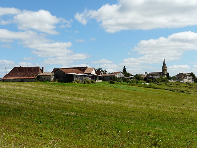
Bosset (Bosset)

- commune in Dordogne, France
- Country:

- Postal Code: 24130
- Coordinates: 44° 57' 5" N, 0° 21' 11" E


- GPS tracks (wikiloc): [Link]
- Area: 14.52 sq km
- Population: 207
- Wikipedia en: wiki(en)
- Wikipedia: wiki(fr)
- Wikidata storage: Wikidata: Q1011698
- Wikipedia Commons Category: [Link]
- Freebase ID: [/m/03mfgcp]
- Freebase ID: [/m/03mfgcp]
- GeoNames ID: Alt: [3031447]
- GeoNames ID: Alt: [3031447]
- SIREN number: [212400519]
- SIREN number: [212400519]
- BnF ID: [152517023]
- BnF ID: [152517023]
- PACTOLS thesaurus ID: [pcrt3r8KWv7751]
- PACTOLS thesaurus ID: [pcrt3r8KWv7751]
- INSEE municipality code: 24051
- INSEE municipality code: 24051
Shares border with regions:


Lunas
- commune in Dordogne, France
- Country:
- Postal Code: 24130
- Coordinates: 44° 55' 1" N, 0° 24' 11" E
- GPS tracks (wikiloc): [Link]
- Area: 16.87 sq km
- Population: 351

Saint-Georges-Blancaneix
- commune in Dordogne, France
- Country:
- Postal Code: 24130
- Coordinates: 44° 55' 14" N, 0° 20' 57" E
- GPS tracks (wikiloc): [Link]
- AboveSeaLevel: 65 м m
- Area: 13.62 sq km
- Population: 226


Les Lèches
- commune in Dordogne, France
- Country:
- Postal Code: 24400
- Coordinates: 44° 59' 23" N, 0° 23' 2" E
- GPS tracks (wikiloc): [Link]
- Area: 21.58 sq km
- Population: 363
- Web site: [Link]


Fraisse
- commune in Dordogne, France
- Country:
- Postal Code: 24130
- Coordinates: 44° 55' 47" N, 0° 18' 28" E
- GPS tracks (wikiloc): [Link]
- Area: 21.5 sq km
- Population: 169