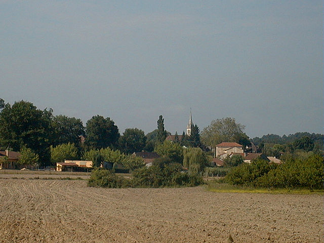
Fraisse (Fraisse)

- commune in Dordogne, France
- Country:

- Postal Code: 24130
- Coordinates: 44° 55' 47" N, 0° 18' 28" E


- GPS tracks (wikiloc): [Link]
- Area: 21.5 sq km
- Population: 169
- Wikipedia en: wiki(en)
- Wikipedia: wiki(fr)
- Wikidata storage: Wikidata: Q196663
- Wikipedia Commons Category: [Link]
- Freebase ID: [/m/02rr631]
- Freebase ID: [/m/02rr631]
- GeoNames ID: Alt: [3017412]
- GeoNames ID: Alt: [3017412]
- SIREN number: [212401913]
- SIREN number: [212401913]
- BnF ID: [15251838c]
- BnF ID: [15251838c]
- INSEE municipality code: 24191
- INSEE municipality code: 24191
Shares border with regions:

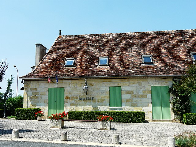
Bosset
- commune in Dordogne, France
- Country:
- Postal Code: 24130
- Coordinates: 44° 57' 5" N, 0° 21' 11" E
- GPS tracks (wikiloc): [Link]
- Area: 14.52 sq km
- Population: 207

Beaupouyet
- commune in Dordogne, France
- Country:
- Postal Code: 24400
- Coordinates: 44° 59' 48" N, 0° 16' 22" E
- GPS tracks (wikiloc): [Link]
- Area: 22.63 sq km
- Population: 491


Saint-Géry
- commune in Dordogne, France
- Country:
- Postal Code: 24400
- Coordinates: 44° 59' 3" N, 0° 19' 26" E
- GPS tracks (wikiloc): [Link]
- Area: 18.71 sq km
- Population: 233


Monfaucon
- commune in Dordogne, France
- Country:
- Postal Code: 24130
- Coordinates: 44° 54' 42" N, 0° 14' 14" E
- GPS tracks (wikiloc): [Link]
- Area: 24.74 sq km
- Population: 302
- Web site: [Link]