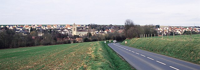
Bougy (Bougy)

- commune in Calvados, France
- Country:

- Postal Code: 14210
- Coordinates: 49° 6' 43" N, 0° 31' 27" E


- GPS tracks (wikiloc): [Link]
- Area: 3.03 sq km
- Population: 405
- Web site: http://bougy-infos.over-blog.com
- Wikipedia en: wiki(en)
- Wikipedia: wiki(fr)
- Wikidata storage: Wikidata: Q1057673
- Wikipedia Commons Category: [Link]
- Freebase ID: [/m/02jbzz]
- Freebase ID: [/m/02jbzz]
- GeoNames ID: Alt: [6447228]
- GeoNames ID: Alt: [6447228]
- SIREN number: [211400890]
- SIREN number: [211400890]
- BnF ID: [15247504g]
- BnF ID: [15247504g]
- INSEE municipality code: 14089
- INSEE municipality code: 14089
Shares border with regions:


Vacognes-Neuilly
- commune in Calvados, France
- Country:
- Postal Code: 14210
- Coordinates: 49° 4' 29" N, 0° 31' 30" E
- GPS tracks (wikiloc): [Link]
- AboveSeaLevel: 134 м m
- Area: 7.9 sq km
- Population: 584

Évrecy
- commune in Calvados, France
- Country:
- Postal Code: 14210
- Coordinates: 49° 5' 59" N, 0° 30' 12" E
- GPS tracks (wikiloc): [Link]
- Area: 8.31 sq km
- Population: 2024
- Web site: [Link]


Missy
- former commune in Calvados, France
- Country:
- Postal Code: 14210
- Coordinates: 49° 7' 18" N, 0° 33' 6" E
- GPS tracks (wikiloc): [Link]
- Area: 5.06 sq km
- Population: 494


Le Locheur
- former commune in Calvados, France
- Country:
- Postal Code: 14210
- Coordinates: 49° 6' 14" N, 0° 33' 9" E
- GPS tracks (wikiloc): [Link]
- Area: 3.68 sq km
- Population: 260


Gavrus
- commune in Calvados, France
- Country:
- Postal Code: 14210
- Coordinates: 49° 7' 7" N, 0° 30' 54" E
- GPS tracks (wikiloc): [Link]
- Area: 2.71 sq km
- Population: 555
- Web site: [Link]