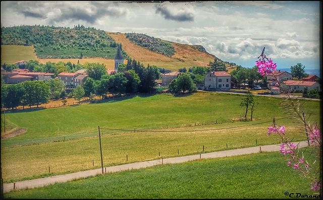
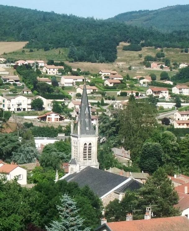
Boulieu-lès-Annonay (Boulieu-lès-Annonay)
- commune in Ardèche, France
- Country:

- Postal Code: 07100
- Coordinates: 45° 16' 14" N, 4° 39' 59" E


- GPS tracks (wikiloc): [Link]
- Area: 9.45 sq km
- Population: 2235
- Web site: http://www.boulieu.fr/
- Wikipedia en: wiki(en)
- Wikipedia: wiki(fr)
- Wikidata storage: Wikidata: Q45231
- Wikipedia Commons Category: [Link]
- Freebase ID: [/m/03ckr84]
- GeoNames ID: Alt: [6446748]
- SIREN number: [210700415]
- INSEE municipality code: 07041
Shares border with regions:
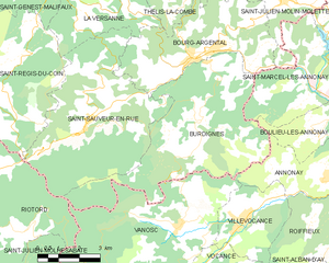
Burdignes
- commune in Loire, France
- Country:
- Postal Code: 42220
- Coordinates: 45° 16' 13" N, 4° 34' 0" E
- GPS tracks (wikiloc): [Link]
- Area: 30.81 sq km
- Population: 352

Savas
- commune in Ardèche, France
- Country:
- Postal Code: 07430
- Coordinates: 45° 17' 48" N, 4° 41' 32" E
- GPS tracks (wikiloc): [Link]
- Area: 12.44 sq km
- Population: 908

Annonay
- commune in Ardèche, France
- Country:
- Postal Code: 07100
- Coordinates: 45° 14' 24" N, 4° 40' 15" E
- GPS tracks (wikiloc): [Link]
- AboveSeaLevel: 358 м m
- Area: 21.2 sq km
- Population: 16698
- Web site: [Link]

Davézieux
- commune in Ardèche, France
- Country:
- Postal Code: 07430
- Coordinates: 45° 15' 19" N, 4° 42' 27" E
- GPS tracks (wikiloc): [Link]
- Area: 5.59 sq km
- Population: 3107
- Web site: [Link]
Saint-Marcel-lès-Annonay
- commune in Ardèche, France
- Country:
- Postal Code: 07100
- Coordinates: 45° 17' 10" N, 4° 37' 34" E
- GPS tracks (wikiloc): [Link]
- Area: 16.61 sq km
- Population: 1432
- Web site: [Link]

Saint-Clair
- commune in Ardèche, France
- Country:
- Postal Code: 07430
- Coordinates: 45° 16' 42" N, 4° 40' 50" E
- GPS tracks (wikiloc): [Link]
- Area: 5.81 sq km
- Population: 1076
- Web site: [Link]