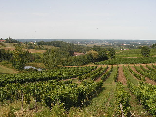
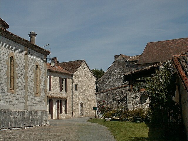
Bouniagues (Bouniagues)

- commune in Dordogne, France
- Country:

- Postal Code: 24560
- Coordinates: 44° 45' 32" N, 0° 31' 37" E


- GPS tracks (wikiloc): [Link]
- Area: 8.62 sq km
- Population: 579
- Web site: http://www.bouniagues.com/
- Wikipedia en: wiki(en)
- Wikipedia: wiki(fr)
- Wikidata storage: Wikidata: Q202104
- Wikipedia Commons Category: [Link]
- Freebase ID: [/m/03mfgb_]
- Freebase ID: [/m/03mfgb_]
- GeoNames ID: Alt: [3031111]
- GeoNames ID: Alt: [3031111]
- SIREN number: [212400543]
- SIREN number: [212400543]
- BnF ID: [152517054]
- BnF ID: [152517054]
- INSEE municipality code: 24054
- INSEE municipality code: 24054
Shares border with regions:

Colombier
- commune in Dordogne, France
- Country:
- Postal Code: 24560
- Coordinates: 44° 46' 57" N, 0° 31' 6" E
- GPS tracks (wikiloc): [Link]
- Area: 7.03 sq km
- Population: 244

Conne-de-Labarde
- commune in Dordogne, France
- Country:
- Postal Code: 24560
- Coordinates: 44° 46' 49" N, 0° 33' 16" E
- GPS tracks (wikiloc): [Link]
- Area: 10.05 sq km
- Population: 243


Ribagnac
- commune in Dordogne, France
- Country:
- Postal Code: 24240
- Coordinates: 44° 45' 57" N, 0° 29' 54" E
- GPS tracks (wikiloc): [Link]
- Area: 11.81 sq km
- Population: 324


Monsaguel
- commune in Dordogne, France
- Country:
- Postal Code: 24560
- Coordinates: 44° 44' 14" N, 0° 34' 49" E
- GPS tracks (wikiloc): [Link]
- Area: 11.57 sq km
- Population: 159

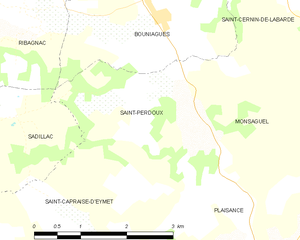
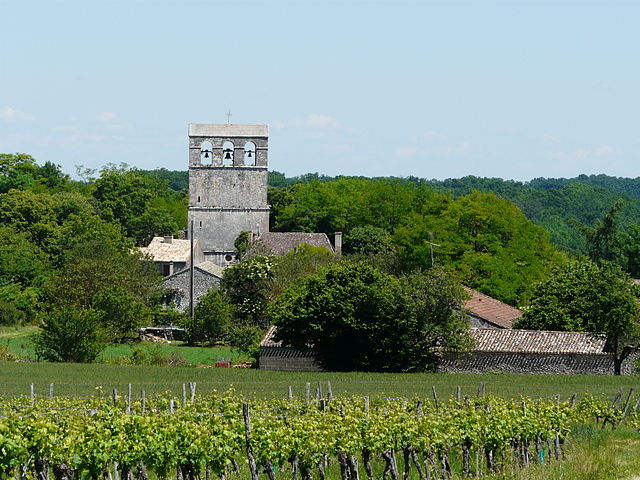
Saint-Perdoux
- commune in Dordogne, France
- Country:
- Postal Code: 24560
- Coordinates: 44° 44' 25" N, 0° 32' 21" E
- GPS tracks (wikiloc): [Link]
- Area: 7.43 sq km
- Population: 134

Saint-Cernin-de-Labarde
- commune in Dordogne, France
- Country:
- Postal Code: 24560
- Coordinates: 44° 45' 51" N, 0° 34' 20" E
- GPS tracks (wikiloc): [Link]
- Area: 11.39 sq km
- Population: 205