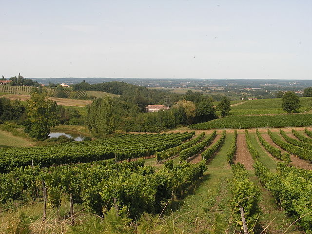
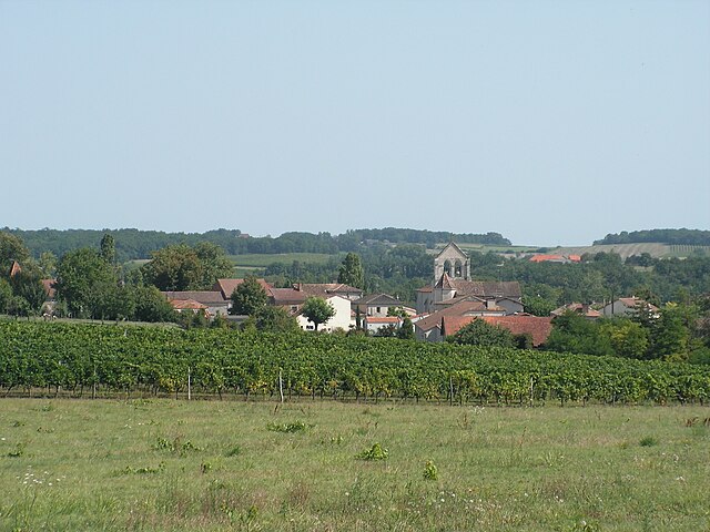
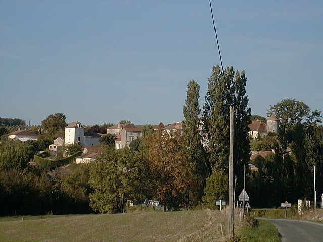
Ribagnac (Ribagnac)

- commune in Dordogne, France
- Country:

- Postal Code: 24240
- Coordinates: 44° 45' 57" N, 0° 29' 54" E


- GPS tracks (wikiloc): [Link]
- Area: 11.81 sq km
- Population: 324
- Wikipedia en: wiki(en)
- Wikipedia: wiki(fr)
- Wikidata storage: Wikidata: Q1077301
- Wikipedia Commons Category: [Link]
- Freebase ID: [/m/03mg7r3]
- Freebase ID: [/m/03mg7r3]
- GeoNames ID: Alt: [2983720]
- GeoNames ID: Alt: [2983720]
- SIREN number: [212403513]
- SIREN number: [212403513]
- BnF ID: [15251996t]
- BnF ID: [15251996t]
- VIAF ID: Alt: [244821828]
- VIAF ID: Alt: [244821828]
- PACTOLS thesaurus ID: [pcrtLiZh5srxOD]
- PACTOLS thesaurus ID: [pcrtLiZh5srxOD]
- INSEE municipality code: 24351
- INSEE municipality code: 24351
Shares border with regions:

Colombier
- commune in Dordogne, France
- Country:
- Postal Code: 24560
- Coordinates: 44° 46' 57" N, 0° 31' 6" E
- GPS tracks (wikiloc): [Link]
- Area: 7.03 sq km
- Population: 244
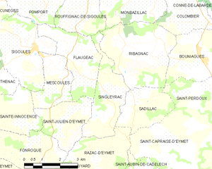
Singleyrac
- commune in Dordogne, France
- Country:
- Postal Code: 24500
- Coordinates: 44° 44' 12" N, 0° 27' 52" E
- GPS tracks (wikiloc): [Link]
- Area: 7.09 sq km
- Population: 290

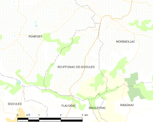
Rouffignac-de-Sigoulès
- commune in Dordogne, France
- Country:
- Postal Code: 24240
- Coordinates: 44° 46' 58" N, 0° 26' 54" E
- GPS tracks (wikiloc): [Link]
- Area: 6.52 sq km
- Population: 331

Sadillac
- commune in Dordogne, France
- Country:
- Postal Code: 24500
- Coordinates: 44° 44' 2" N, 0° 29' 0" E
- GPS tracks (wikiloc): [Link]
- Area: 5.63 sq km
- Population: 115


Bouniagues
- commune in Dordogne, France
- Country:
- Postal Code: 24560
- Coordinates: 44° 45' 32" N, 0° 31' 37" E
- GPS tracks (wikiloc): [Link]
- Area: 8.62 sq km
- Population: 579
- Web site: [Link]


Monbazillac
- commune in Dordogne, France
- Country:
- Postal Code: 24240
- Coordinates: 44° 47' 39" N, 0° 29' 30" E
- GPS tracks (wikiloc): [Link]
- Area: 19.58 sq km
- Population: 870